Enable Location

We need your location to show you interesting places around you

Discover nearby places

Find interesting locations and hidden gems around you

Precise directions

Get accurate directions and distances to places

Your location is never shared with other users. It's only used when you tap the location button.

Lincoln County

Log in to your account

Start exploring — it's free

Trusted by 61,637 travelers worldwide

Continue with Google
Continue with Apple
or

We will send you a code to connect

By continuing, you accept our Terms and Conditions and our Privacy Policy

Check your inbox

We've sent a pincode in your inbox. Please enter the code below.

Lincoln County, Administrative county in western Wyoming, United States.

Description

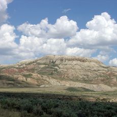
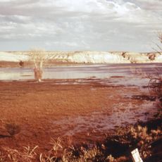
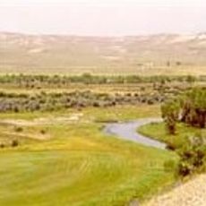
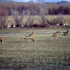
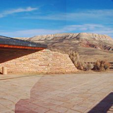
Lincoln County is an administrative county in western Wyoming that covers a large area with varied landscapes including mountains and valleys. The region includes several small towns and communities spread across its expanse.

History

This county was established in 1911 when it was separated from Uinta County and named in honor of President Abraham Lincoln. Its boundaries took their current shape after portions were separated in 1921 to form neighboring counties.

Culture

The Johnson County War between cattle barons and small farmers in the late 1800s shaped the regional identity and influenced numerous Western narratives.

Practical

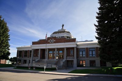
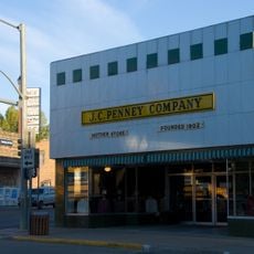
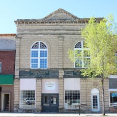
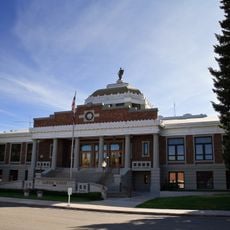
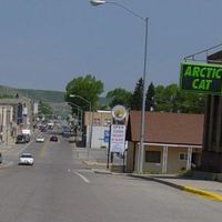
The administrative center at Kemmerer provides a starting point for understanding local services and governance. The county's moderate size makes it accessible for visitors exploring multiple communities throughout the area.

Did you know?

This region borders three states, connecting the western plateau with the Rocky Mountains through its location. This geographical position made it a natural crossroads for early travelers and trade routes.

Location
Inception
1913
Capital city
Kemmerer
Shares border with
Teton County, Sublette County, Sweetwater County, Uinta County, Rich County, Bear Lake County, Caribou County, Bonneville County
Website
GPS coordinates
42.26000,-110.70000
Latest update
December 7, 2025 19:24

AroundUs brings together thousands of curated places, local tips, and hidden gems, enriched daily by 60,000 contributors worldwide. Discover all places nearby (Wyoming).

Around this place
Fossil Butte National Monument
United States of America

Fossil Butte National Monument

44.9 km
Star Valley Wyoming Temple
United States of America

Star Valley Wyoming Temple

53.8 km
Snake River Canyon
United States of America

Snake River Canyon

104.7 km
Intermittent Spring
United States of America

Intermittent Spring

55.3 km
Fontenelle Reservoir
United States of America

Fontenelle Reservoir

58 km
Names Hill
United States of America

Names Hill

43.3 km
J. C. Penney Historic District
United States of America

J. C. Penney Historic District

53.5 km
J.C. Penney House
United States of America

J.C. Penney House

53.5 km
Upper Green River Rendezvous Site
United States of America

Upper Green River Rendezvous Site

86.8 km
Cokeville Meadows National Wildlife Refuge
United States of America

Cokeville Meadows National Wildlife Refuge

41.7 km
Fort Bonneville
United States of America

Fort Bonneville

84.5 km
United States of America

Mount Fitzpatrick

52 km
Rock Church (Auburn, Wyoming)
United States of America

Rock Church (Auburn, Wyoming)

64.1 km
Father DeSmet's Prairie Mass Site
United States of America

Father DeSmet's Prairie Mass Site

86.7 km
Montepelier Odd Fellows Hall
United States of America

Montepelier Odd Fellows Hall

50.5 km
Haddenham Cabin
United States of America

Haddenham Cabin

47.9 km
Church of St. Hubert the Hunter and Library
United States of America

Church of St. Hubert the Hunter and Library

107.5 km
Daniel School
United States of America

Daniel School

84.6 km
Lincoln County Courthouse
United States of America

Lincoln County Courthouse

53.6 km
Montpelier Historic District
United States of America

Montpelier Historic District

50 km
ENP Bridge over Green River
United States of America

ENP Bridge over Green River

83.3 km
John A. Bagley House
United States of America

John A. Bagley House

50 km
William and Nora Ream House
United States of America

William and Nora Ream House

47.1 km
The National Oregon / California Trail Center
United States of America

The National Oregon / California Trail Center

49.7 km
American Fossil Quarry
United States of America

American Fossil Quarry

44 km
Ulrich's Fossil Gallery
United States of America

Ulrich's Fossil Gallery

49.3 km
Fossil Butte National Monument Visitor Center
United States of America

Fossil Butte National Monument Visitor Center

47.5 km
East Dingle Bridge
United States of America

East Dingle Bridge

45.2 km
Show the full map
Administrative divisions
« Lincoln County - Administrative county in western Wyoming, United States » is provided by Around Us (aroundus.com). Images and texts are derived from Wikimedia project under a Creative Commons license. You are allowed to copy, distribute, and modify copies of this page, under the conditions set by the license, as long as this note is clearly visible.

Discover hidden gems everywhere you go!

From secret cafés to breathtaking viewpoints, skip the crowded tourist spots and find places that match your style. Our app makes it easy with voice search, smart filtering, route optimization, and insider tips from travelers worldwide. Download now for the complete mobile experience.

Around Us App Screenshot

A unique approach to discovering new places

Le Figaro

All the places worth exploring

France Info

A tailor-made excursion in just a few clicks

20 Minutes

Around Us
Travel Guide & Maps
Download

Send to your phone

QR Code
1

Open the camera app on your mobile.

2

Point at the QR code with your camera. A notification will appear.

3

Tap the notification to open the link.