
Hayes Creek Falls, chute d'eau au Colorado
Location: Pitkin County
Part of: Hayes Creek
GPS coordinates: 39.15925,-107.25208
Latest update: March 9, 2025 04:06
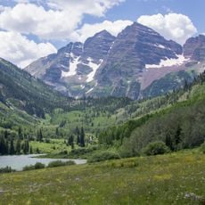
Maroon Bells
24.8 km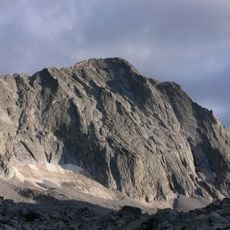
Capitol Peak
14.7 km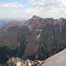
Pyramid Peak
27.8 km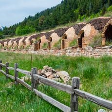
Redstone Coke Oven Historic District
2.6 km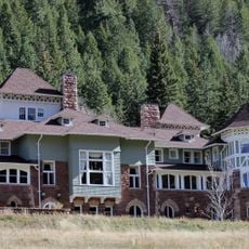
Redstone Castle
1.4 km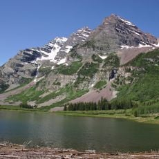
Maroon Bells–Snowmass Wilderness
23.4 km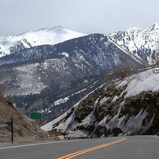
McClure Pass
4.4 km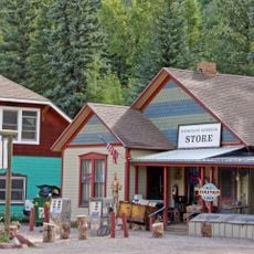
Redstone Historic District
2.6 km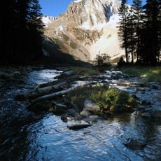
Snowmass Peak
17.8 km
Cathedral Peak
36.7 km
Pioneer Park
36.9 km
Maroon Creek Bridge
35.1 km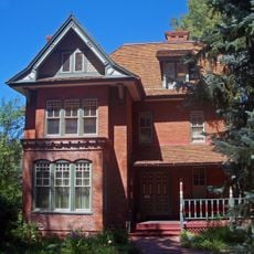
Wheeler–Stallard House
36.7 km
D.E. Frantz House
37 km
Davis Waite House
37.2 km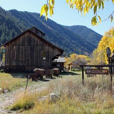
Holden/Marolt Mining and Ranching Museum
36.2 km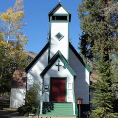
Marble Community Church
11.2 km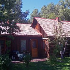
Matthew Callahan Log Cabin
36.9 km
Osgood Gamekeeper's Lodge
1.4 km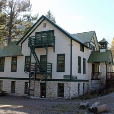
Marble High School
11 km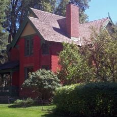
Bowles–Cooley House
37.2 km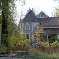
Shilling–Lamb House
37.2 km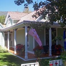
Samuel I. Hallett House
36.9 km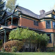
Smith–Elisha House
37 km
Osgood–Kuhnhausen House
3.4 km
Missouri Heights School
32 km
Mount Sopris
13.6 km
Satank Bridge
28.8 kmReviews
Visited this place? Tap the stars to rate it and share your experience / photos with the community! Try now! You can cancel it anytime.
Discover hidden gems everywhere you go!
From secret cafés to breathtaking viewpoints, skip the crowded tourist spots and find places that match your style. Our app makes it easy with voice search, smart filtering, route optimization, and insider tips from travelers worldwide. Download now for the complete mobile experience.

A unique approach to discovering new places❞
— Le Figaro
All the places worth exploring❞
— France Info
A tailor-made excursion in just a few clicks❞
— 20 Minutes