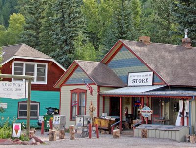
Redstone Historic District, National historic district in Pitkin County, Colorado
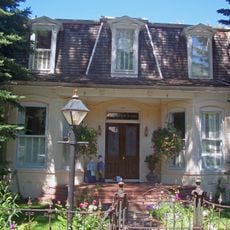
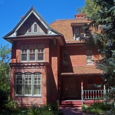
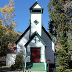
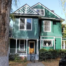
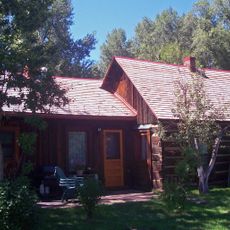
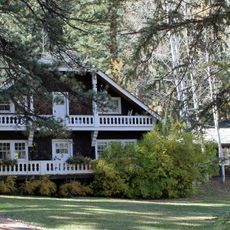
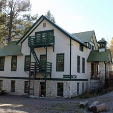
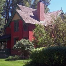
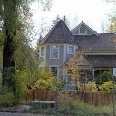
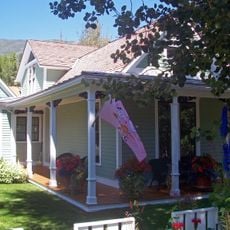
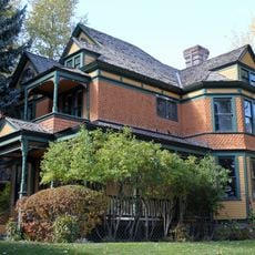
Redstone Historic District is a historic district in Pitkin County, Colorado, stretching along the Crystal River with buildings constructed from local red sandstone and traditional materials of the industrial era. The structures include residences, commercial buildings, and operational facilities built from materials sourced nearby.
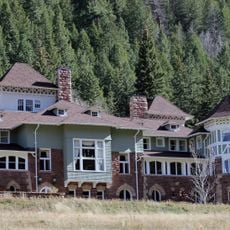
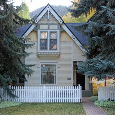
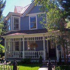
The settlement was founded between 1900 and 1903 by John Cleveland Osgood for the Colorado Fuel and Iron Company to house coal miners and their families. This company town reflected the industrial expansion happening in Colorado's mountains.
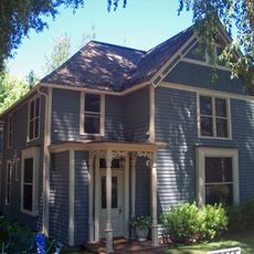
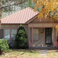
The settlement was designed as a company town where workers and managers lived in separate but interconnected areas. Walking through the streets reveals how living and working spaces were intentionally organized for a cohesive mining community.
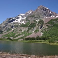
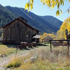
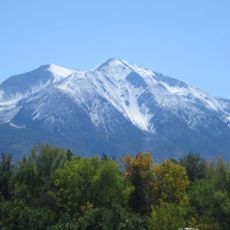
The site is accessible from Aspen and sits along the Crystal River where walking and hiking opportunities exist throughout the year. Visitors should plan to explore on foot to appreciate the layout of different building types and their arrangement.
The distinctive red sandstone used for building facades came from local quarries and gave the place its name and recognizable appearance. This material choice was both economical and created the striking visual character still visible today.
The community of curious travelers
AroundUs brings together thousands of curated places, local tips, and hidden gems, enriched daily by 60,000 contributors worldwide.