
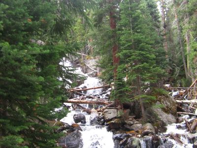
Copeland Falls, waterfall in Colorado
Location: Boulder County
Part of: North Saint Vrain Creek
GPS coordinates: 40.20637,-105.56861
Latest update: March 4, 2025 12:30
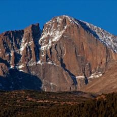
Longs Peak
6.7 km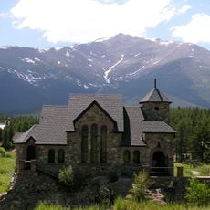
Chapel on the Rock
5.3 km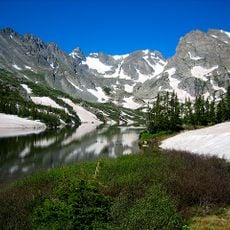
Indian Peaks Wilderness
14.3 km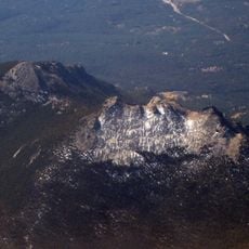
Twin Sisters Peaks
10.1 km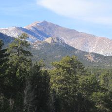
Mount Meeker
5.6 km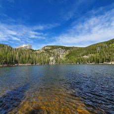
Bear Lake Trailhead
13.5 km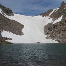
Andrews Glacier
13.3 km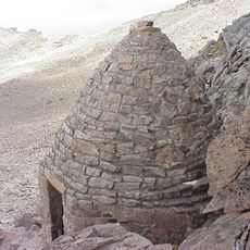
Agnes Vaille Shelter
7.5 km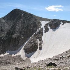
Tyndall Glacier
15 km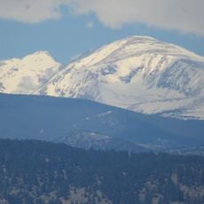
Mount Audubon
12.6 km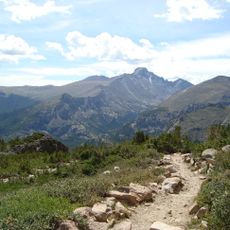
Flattop Mountain Trail
15.2 km
East Longs Peak Trail – Longs Peak Trail – Keyhole Route – Shelf Trail
7.8 km
Taylor Peak
12.2 km
Mount Alice
8.8 km
William Allen White Cabins
16.7 km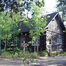
Wild Basin Ranger Station
305 m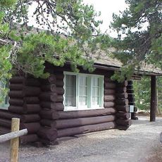
Glacier Basin Campground Ranger Station
13.9 km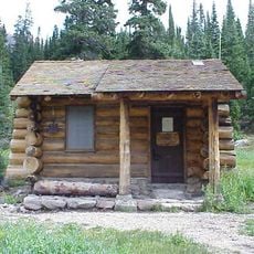
Thunder Lake Patrol Cabin
6.7 km
Wild Basin House
320 m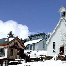
Ward Congregational Church
15.7 km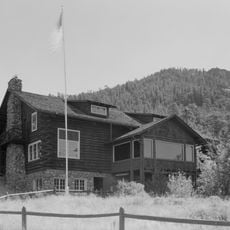
Moraine Park Discovery Center
17 km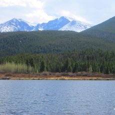
Lily Lake
11.5 km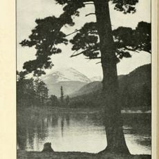
Copeland Lake
3 km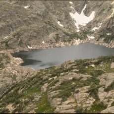
Bluebird Lake
7.5 km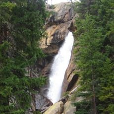
Ouzel Falls
2.9 km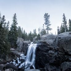
Alberta Falls
12.3 km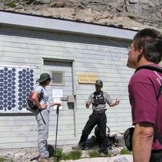
Chasm Meadow Patrol Cabin
6.4 km
Glacier Basin Campground
13.8 kmReviews
Visited this place? Tap the stars to rate it and share your experience / photos with the community! Try now! You can cancel it anytime.
Discover hidden gems everywhere you go!
From secret cafés to breathtaking viewpoints, skip the crowded tourist spots and find places that match your style. Our app makes it easy with voice search, smart filtering, route optimization, and insider tips from travelers worldwide. Download now for the complete mobile experience.

A unique approach to discovering new places❞
— Le Figaro
All the places worth exploring❞
— France Info
A tailor-made excursion in just a few clicks❞
— 20 Minutes