
Mount McConnel National Recreation Trail, Weg in den Vereinigten Staaten
Location: Colorado
Inception: 1936
GPS coordinates: 40.68280,-105.46400
Latest update: April 10, 2025 02:34
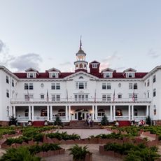
The Stanley Hotel
33.7 km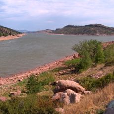
Horsetooth Reservoir
29.7 km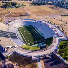
Sonny Lubick Field at Hughes Stadium
30.4 km
The Blasting Room
31.8 km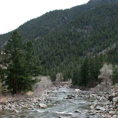
Poudre Canyon
13.5 km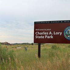
Lory State Park
25.8 km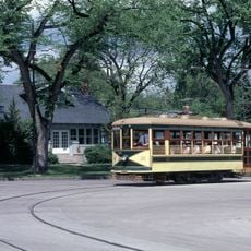
Fort Collins Municipal Railway
32.3 km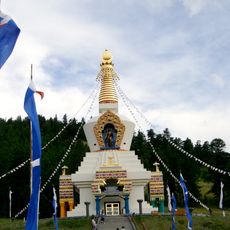
The Great Stupa of Dharmakaya
8.2 km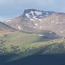
Hagues Peak
26.9 km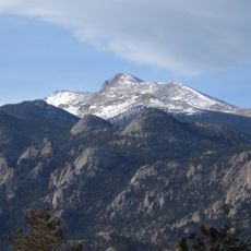
Mummy Mountain
26.8 km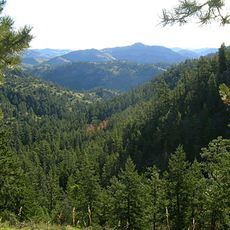
Cache La Poudre Wilderness
2.1 km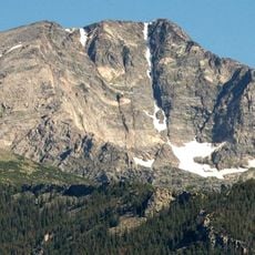
Ypsilon Mountain
31.1 km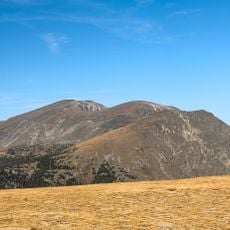
Mount Chiquita
32.7 km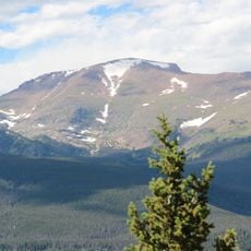
Fairchild Mountain
29.3 km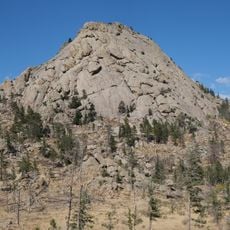
Greyrock Mountain
14.9 km
Totally 80's Pizza
34.1 km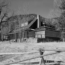
McGraw Ranch
28.2 km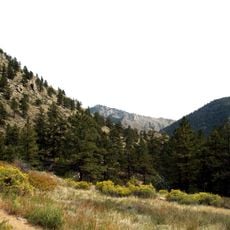
Greyrock Mountain Trail
15.2 km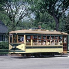
Fort Collins Municipal Railway Birney Safety Streetcar No. 21
31.8 km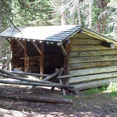
Fall River Entrance Historic District
32.8 km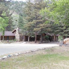
Arrowhead Lodge
14.7 km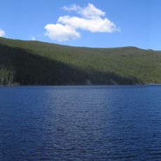
Comanche Reservoir
19.2 km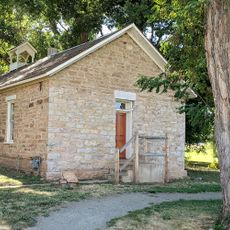
Pleasant Valley School
23.9 km
Lawn Lake
27.9 km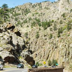
Big Thompson Canyon
32.9 km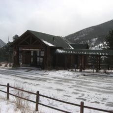
Fall River Visitor Center
33 km
Sheep Lakes Information Station
33.6 km
Sheep Lakes Turnout
33.6 kmReviews
Visited this place? Tap the stars to rate it and share your experience / photos with the community! Try now! You can cancel it anytime.
Discover hidden gems everywhere you go!
From secret cafés to breathtaking viewpoints, skip the crowded tourist spots and find places that match your style. Our app makes it easy with voice search, smart filtering, route optimization, and insider tips from travelers worldwide. Download now for the complete mobile experience.

A unique approach to discovering new places❞
— Le Figaro
All the places worth exploring❞
— France Info
A tailor-made excursion in just a few clicks❞
— 20 Minutes