Cache La Poudre Wilderness, Protected wilderness area near Fort Collins, Colorado
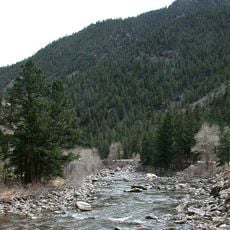
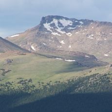
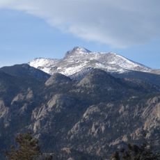
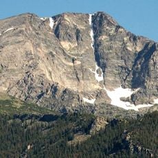
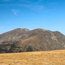
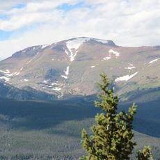
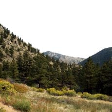
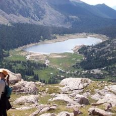
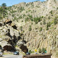
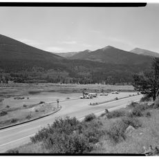
Cache La Poudre Wilderness is a 9,258-acre (37.47 km²) federally protected area in the Canyon Lakes Ranger District of Roosevelt National Forest, Colorado. It lies along the Cache la Poudre River, with elevations from 6,200 to 8,600 feet (1,900 to 2,600 m). The terrain is steep and rugged, and the Little South Fork of the Cache La Poudre River runs 9 miles (14 km) through it.
The United States Congress protected this area as official wilderness in 1980 through the Colorado Wilderness Act. Major changes came in the early 2010s when wildfires and flooding dramatically reshaped the landscape.
The only path into the wilderness is the Mount McConnel National Recreation Trail, a 3-mile (4.8 km) route named after the peak it climbs. The name Cache la Poudre comes from French-speaking trappers who cached gunpowder along the river's banks. The Little South Fork of the Cache la Poudre runs 9 miles (14 km) through the area.
The only trail in the wilderness is the Mount McConnel National Recreation Trail, 3 miles (4.8 km) long; there is no second marked route. The terrain along the Cache la Poudre River is steep and rugged, and elevations run from 6,200 to 8,600 feet (1,900 to 2,600 m), so plan for the climb and for changing mountain weather.
After the High Park fire in 2012 devastated roughly 95 percent of the area, nature has begun returning gradually, and visitors today see forests at different stages of regrowth.
The community of curious travelers
AroundUs brings together thousands of curated places, local tips, and hidden gems, enriched daily by 94,534 contributors worldwide.