Enable Location

We need your location to show you interesting places around you

Discover nearby places

Find interesting locations and hidden gems around you

Precise directions

Get accurate directions and distances to places

Your location is never shared with other users. It's only used when you tap the location button.

Log in to your account

Join the adventure

Create your free account and start exploring (like 60k+ others)

We will send you a code to connect

or
Continue with Google
Continue with Apple
By continuing, you accept our Terms and Conditions and our Privacy Policy

Check your inbox

We've sent a pincode in your inbox. Please enter the code below.

Five Points

Five Points, Historical district in Denver, United States

Description

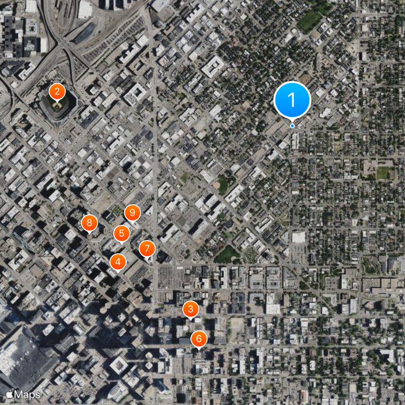
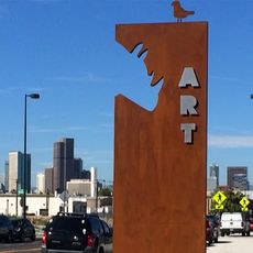
Five Points is a neighborhood in Denver defined by a distinctive street layout where five streets converge at a central intersection. The area encompasses several sub-zones, each with its own character: the Ballpark district, River North Art District, and Curtis Park.

History

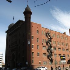
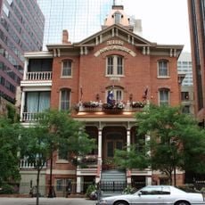
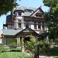
In the early 20th century, this neighborhood became the center of Denver's Black community cultural life, filled with jazz clubs and entertainment venues. The Rossonian Hotel, built in 1912, grew into a nationally important performance space for artists who were barred from other establishments.

Culture

This neighborhood served as a creative refuge for Black musicians and artists who built their own venues after being excluded from other Denver establishments. That legacy continues to shape how the area feels and what draws people here today.

Practical

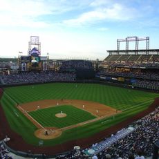
The neighborhood connects directly to downtown Denver through multiple public transit options, including light rail service along Welton Street. Visitors can easily move between the different sub-zones and find restaurants, galleries, and local shops throughout the area.

Did you know?

The neighborhood's name comes from its unusual street layout where five streets meet at a central point, an atypical urban design feature in Denver. This distinctive crossing pattern is essential to how the area is navigated and recognized.

Location
GPS coordinates
39.75480,-104.97800
Latest update
December 20, 2025 14:41

AroundUs brings together thousands of curated places, local tips, and hidden gems, enriched daily by 60,000 contributors worldwide. Discover all places nearby (Colorado).

Around this place
Coors Field
United States of America

Coors Field

1.4 km
Wells Fargo Center
United States of America

Wells Fargo Center

1.3 km
707 17th Street
United States of America

707 17th Street

1.3 km
Byron White United States Courthouse
United States of America

Byron White United States Courthouse

1.2 km
Central Presbyterian Church
United States of America

Central Presbyterian Church

1.4 km
1999 Broadway
United States of America

1999 Broadway

1.2 km
Denver Place
United States of America

Denver Place

1.3 km
Byron G. Rogers Federal Building and United States Courthouse
United States of America

Byron G. Rogers Federal Building and United States Courthouse

1.1 km
Avenue Theater
United States of America

Avenue Theater

1.3 km
621 17th Street
United States of America

621 17th Street

1.4 km
633 17th Street
United States of America

633 17th Street

1.4 km
One Lincoln Park, Denver
United States of America

One Lincoln Park, Denver

1.1 km
Granite Tower
United States of America

Granite Tower

1.3 km
United States of America

Ghost Building

1.4 km
Denver Financial Center
United States of America

Denver Financial Center

1.3 km
Johns Manville Plaza
United States of America

Johns Manville Plaza

1.4 km
Mosque of the El Jebel Shrine
United States of America

Mosque of the El Jebel Shrine

1.2 km
Blair-Caldwell African American Research Library
United States of America

Blair-Caldwell African American Research Library

371 m
American Museum of Western Art – The Anschutz Collection
United States of America

American Museum of Western Art – The Anschutz Collection

1.4 km
St. Andrews Episcopal Church
United States of America

St. Andrews Episcopal Church

971 m
United States Customhouse
United States of America

United States Customhouse

1.1 km
Black American West Museum and Heritage Center
United States of America

Black American West Museum and Heritage Center

642 m
Temple Emanuel
United States of America

Temple Emanuel

529 m
Flower-Vaile House
United States of America

Flower-Vaile House

1.4 km
Christ Methodist Episcopal Church
United States of America

Christ Methodist Episcopal Church

642 m
Brinker Collegiate Institute
United States of America

Brinker Collegiate Institute

1.4 km
Bouvier-Lothrop House
United States of America

Bouvier-Lothrop House

1.4 km
RiNo Art District
United States of America

RiNo Art District

785 m
Show the full map
« Five Points - Historical district in Denver, United States » is provided by Around Us (aroundus.com). Images and texts are derived from Wikimedia project under a Creative Commons license. You are allowed to copy, distribute, and modify copies of this page, under the conditions set by the license, as long as this note is clearly visible.

Discover hidden gems everywhere you go!

From secret cafés to breathtaking viewpoints, skip the crowded tourist spots and find places that match your style. Our app makes it easy with voice search, smart filtering, route optimization, and insider tips from travelers worldwide. Download now for the complete mobile experience.

Around Us App Screenshot

A unique approach to discovering new places

Le Figaro

All the places worth exploring

France Info

A tailor-made excursion in just a few clicks

20 Minutes

Around Us
Travel Guide & Maps
Download

Send to your phone

QR Code
1

Open the camera app on your mobile.

2

Point at the QR code with your camera. A notification will appear.

3

Tap the notification to open the link.