Enable Location

We need your location to show you interesting places around you

Discover nearby places

Find interesting locations and hidden gems around you

Precise directions

Get accurate directions and distances to places

Your location is never shared with other users. It's only used when you tap the location button.

Dawes County

Log in to your account

Start exploring — it's free

Trusted by 62,892 travelers worldwide

Continue with Google
Continue with Apple
or

We will send you a code to connect

By continuing, you accept our Terms and Conditions and our Privacy Policy

Check your inbox

We've sent a pincode in your inbox. Please enter the code below.

Discussion Reviews 1 Photos
9.5k Popularity

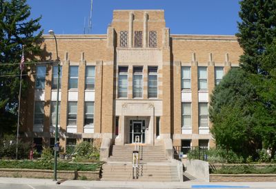
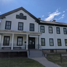
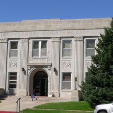
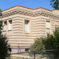
Dawes County, County administration center in northwestern Nebraska, United States

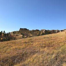
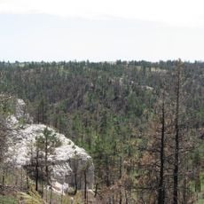
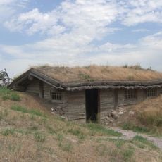
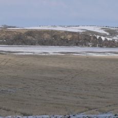
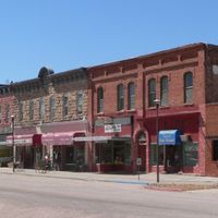
Dawes County is an administrative division in northwestern Nebraska featuring rolling plains, pine forests, and grassland terrain. The city of Chadron serves as the main hub where county services and government offices are located.

The county was established in 1885 when separated from Sioux County and named after James W. Dawes, Nebraska's sixth governor. This division allowed the western portion of the state to develop its own administrative structure.

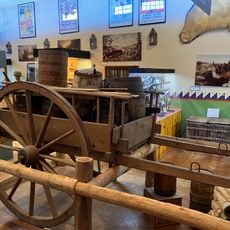
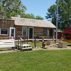
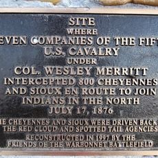
The Oglala and Brule peoples shaped this land for centuries, and their heritage appears in place names and local stories throughout the county. Visitors sense this connection in community narratives and at sites that mark their former presence.

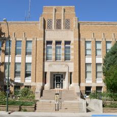
The county operates on Mountain Time, which means it is one hour behind most of Nebraska, so visitors should adjust their clocks accordingly. Plan a visit to Chadron to access county services and get oriented before exploring the broader region.

Vehicle license plates in the county bear the distinctive 69 prefix, a rare feature that marks the county's western position in the state. Most travelers pass through without noticing this small but identifiable detail on every local plate.

The community of curious travelers

AroundUs brings together thousands of curated places, local tips, and hidden gems, enriched daily by 60,000 contributors worldwide.

Start exploring
Location
Inception
1885
Capital city
Chadron
Shares border with
Oglala Lakota County, Box Butte County, Sheridan County, Sioux County, Fall River County
GPS coordinates
42.71000,-103.14000
Latest update
December 10, 2025 15:57
Around this place
Carhenge
United States of America

Carhenge

67.3 km
Fort Robinson
United States of America

Fort Robinson

27.2 km
Toadstool Geologic Park
United States of America

Toadstool Geologic Park

40.2 km
Hudson-Meng Bison Kill
United States of America

Hudson-Meng Bison Kill

41.7 km
Angostura Reservoir
United States of America

Angostura Reservoir

70.5 km
Chadron State Park
United States of America

Chadron State Park

10 km
Pine Ridge National Recreation Area
United States of America

Pine Ridge National Recreation Area

9.2 km
Bordeaux Trading Post
United States of America

Bordeaux Trading Post

21.7 km
Camp Sheridan
United States of America

Camp Sheridan

36 km
Trailside Museum of Natural History at Fort Robinson State Park
United States of America

Trailside Museum of Natural History at Fort Robinson State Park

27.1 km
Mari Sandoz High Plains Heritage Center
United States of America

Mari Sandoz High Plains Heritage Center

16.6 km
Fort Robinson State Park
United States of America

Fort Robinson State Park

29 km
Dawes County Courthouse
United States of America

Dawes County Courthouse

20.7 km
Chadron Commercial Historic District
United States of America

Chadron Commercial Historic District

17.7 km
Plains Theatre
United States of America

Plains Theatre

55.5 km
Crites Hall
United States of America

Crites Hall

16.8 km
Sioux County Courthouse
United States of America

Sioux County Courthouse

60.8 km
Sheridan County Courthouse
United States of America

Sheridan County Courthouse

55.6 km
Sparks Hall
United States of America

Sparks Hall

16.7 km
Miller Hall
United States of America

Miller Hall

20.6 km
Chadron Public Library
United States of America

Chadron Public Library

17.3 km
Edna Work Hall
United States of America

Edna Work Hall

16.7 km
Fort Robinson Museum & History Center
United States of America

Fort Robinson Museum & History Center

27.1 km
Museum of the Fur Trade
United States of America

Museum of the Fur Trade

21.4 km
Dobby's Frontier Town
United States of America

Dobby's Frontier Town

69.4 km
Army Theatre
United States of America

Army Theatre

27.1 km
Agate Fossil Beds Visitor Center
United States of America

Agate Fossil Beds Visitor Center

58.1 km
Warbonnet Battlefield Monument
United States of America

Warbonnet Battlefield Monument

53.8 km
Show the full map
Administrative divisions
« Dawes County - County administration center in northwestern Nebraska, United States » is provided by Around Us (aroundus.com). Images and texts are derived from Wikimedia project under a Creative Commons license. You are allowed to copy, distribute, and modify copies of this page, under the conditions set by the license, as long as this note is clearly visible.

Discover hidden gems everywhere you go!

From secret cafés to breathtaking viewpoints, skip the crowded tourist spots and find places that match your style. Our app makes it easy with voice search, smart filtering, route optimization, and insider tips from travelers worldwide. Download now for the complete mobile experience.

Around Us App Screenshot

A unique approach to discovering new places

Le Figaro

All the places worth exploring

France Info

A tailor-made excursion in just a few clicks

20 Minutes

Around Us
Travel Guide & Maps
Download

Send to your phone

QR Code
1

Open the camera app on your mobile.

2

Point at the QR code with your camera. A notification will appear.

3

Tap the notification to open the link.