
Dizzy Head, cliff in Idaho County, Idaho, United States of America
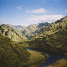
Hells Canyon National Recreation Area
67 km
Nez Perce National Historical Park
77.1 km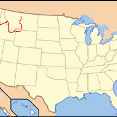
Nez Perce National Historic Trail
30.5 km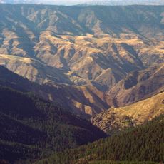
Hells Canyon Wilderness
71.5 km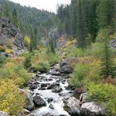
Gospel Hump Wilderness
59 km
Weippe Prairie
32.4 km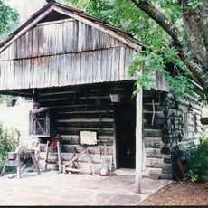
Polly Bemis House
75.5 km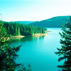
Dworshak State Park
61.5 km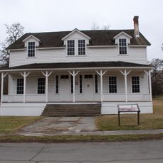
Fort Lapwai
76.9 km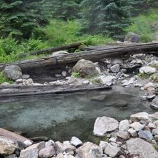
Stanley Hot Springs
61.3 km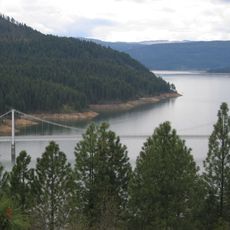
Dent Bridge
60.5 km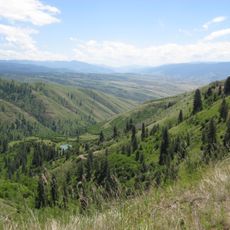
White Bird Grade
36.2 km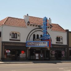
Blue Fox Theatre
20.2 km
American Women's League Chapter House
56 km
First Presbyterian Church
14.3 km
Pierce Courthouse
47.9 km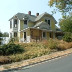
Thomas Kirby House
78.9 km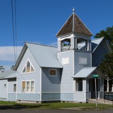
First Presbyterian Church
73.3 km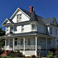
21 Ranchhouse
70 km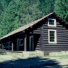
Lochsa Historical Ranger Station
57.6 km
Gold Point Mill
55.8 km
Orofino Historic District
49.2 km
James V. and Sophia Baker House
29.2 km
Cooper's Ferry
38.3 km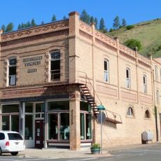
Kendrick Fraternal Temple
79.1 km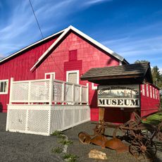
Brown's Creek CCC Camp Barracks
33.4 km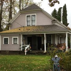
James F. Bridwell House
17.2 km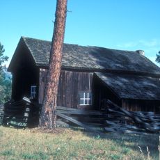
Sue McBeth Cabin
14.4 kmReviews
Visited this place? Tap the stars to rate it and share your experience / photos with the community! Try now! You can cancel it anytime.
Discover hidden gems everywhere you go!
From secret cafés to breathtaking viewpoints, skip the crowded tourist spots and find places that match your style. Our app makes it easy with voice search, smart filtering, route optimization, and insider tips from travelers worldwide. Download now for the complete mobile experience.

A unique approach to discovering new places❞
— Le Figaro
All the places worth exploring❞
— France Info
A tailor-made excursion in just a few clicks❞
— 20 Minutes