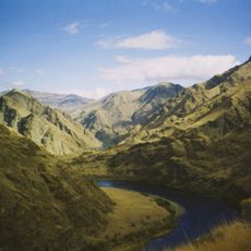
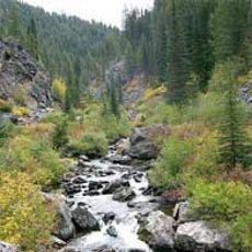
Lochsa River, Mountain river in Idaho County, United States
The Lochsa River is a free-flowing mountain river in Idaho County that runs through the Clearwater National Forest before joining the Selway River near Lowell. Together these two rivers form the Middle Fork Clearwater River, making this confluence a notable point along the route.
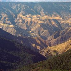
The Nez Perce people knew this river long before outsiders arrived, using its banks and waters as part of their seasonal routes through the mountains. The Lewis and Clark expedition crossed it in 1805 and noted the rough terrain, which made this section of the journey one of the hardest they recorded.
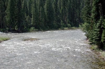
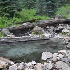
The name Lochsa comes from the Nez Perce language and is often translated as rough water, which reflects what you see when you stand at the bank. Today, the river draws people who fish, paddle, or simply walk along its edge, continuing a long tradition of coming to this water for sustenance and rest.
The river runs alongside U.S. Highway 12, which makes it easy to stop at multiple points along the way without needing to hike far. Water levels are highest in late spring due to snowmelt, so anyone planning to paddle or wade should check conditions before heading out.
The Lochsa is one of the few rivers in the country that runs its full length without a single dam or diversion, which is rare for a river of this size. That unbroken flow is part of why it is formally designated as a Wild and Scenic River under U.S. federal law.
The community of curious travelers
AroundUs brings together thousands of curated places, local tips, and hidden gems, enriched daily by 60,000 contributors worldwide.