Mineral County

Log in to your account

AroundUs is a community-driven map of interesting places, built by curious explorers like you. It grows with every review, story, and photo you share.
Connect to save your favorite spots, contribute locations, and create personalized routes.
By continuing, you accept our Terms and Conditions and our Privacy Policy
Add to collection
Map
Suggest a change
Share

Mineral County, Administrative division in Northwestern Montana, US.

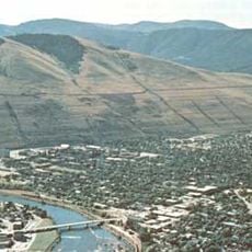
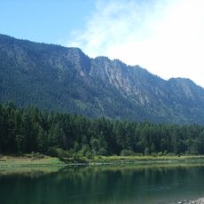
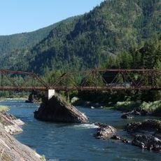
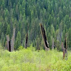
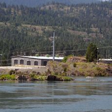
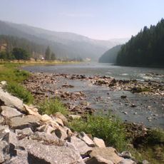
Mineral County is an administrative division in northwestern Montana covering mountainous terrain dominated by forest and river systems. The landscape includes the Lolo National Forest and is drained by the St. Regis and Clark Fork rivers, which form natural boundaries and waterways through the region.

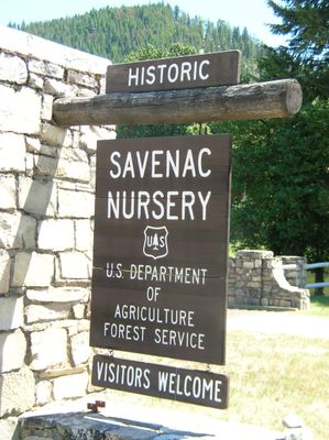
The county was established in 1914 and named after substantial mineral deposits discovered throughout the mountainous terrain. These resources attracted early settlers and mining activity, which shaped the initial development of communities across the area.

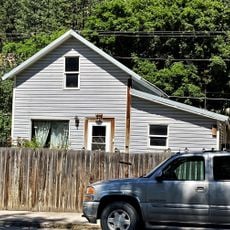
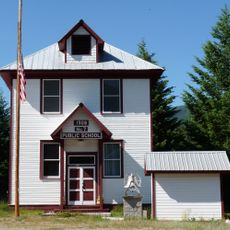
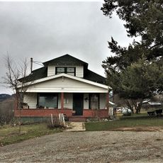
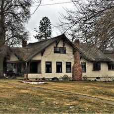
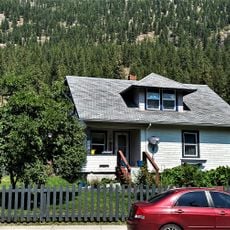
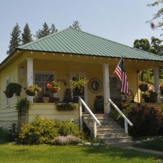
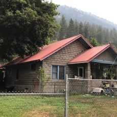
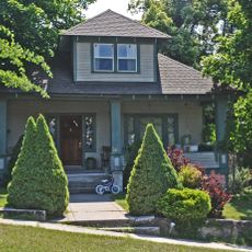
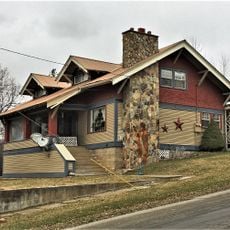
Residents here value outdoor traditions and self-reliance, with communities organized around logging, agriculture, and tourism tied to the forests and rivers. Small-town life revolves around these local industries and the natural landscape that shapes how people live and work.

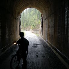
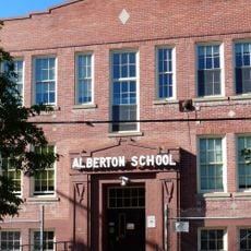
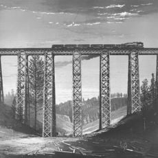
Interstate 90 and Montana Highway 135 provide the main access routes to the county seat of Superior and smaller communities throughout the area. These highways are essential for travel, and winter conditions can affect road accessibility, so checking road status before travel is advisable.

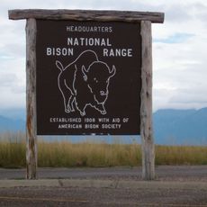
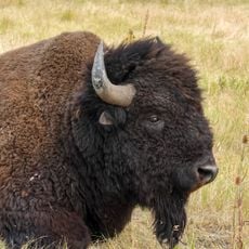
The region plays an important role in wilderness preservation through management of the Lolo National Forest, which protects natural habitats for wildlife. This forest serves as a crucial corridor for bears, elk, and deer that migrate through the mountains and valleys.

GPS coordinates: 47.13303,-114.92023

Latest update: December 10, 2025 15:52

Photos
Around this place
Show the full map
Lake Missoula
United States of America

Lake Missoula

62.7 km
CSKT Bison Range
United States of America

CSKT Bison Range

57.5 km
Edward Pulaski Tunnel and Placer Creek Escape Route
United States of America

Edward Pulaski Tunnel and Placer Creek Escape Route

78.8 km
Council Grove State Park
United States of America

Council Grove State Park

63 km
Thompson Falls State Park
United States of America

Thompson Falls State Park

64.6 km
Chicago, Milwaukee, St. Paul and Pacific Railroad Company Historic District
United States of America

Chicago, Milwaukee, St. Paul and Pacific Railroad Company Historic District

61.4 km
CSKT Bison Range
United States of America

CSKT Bison Range

56.7 km
Burke Canyon
United States of America

Burke Canyon

82.3 km
Savenac Nursery Historic District
United States of America

Savenac Nursery Historic District

45.6 km
Brinks House
United States of America

Brinks House

36.5 km
Alberton School
United States of America

Alberton School

36.2 km
Tourist Hotel
United States of America

Tourist Hotel

60.5 km
Natural Pier Bridge
United States of America

Natural Pier Bridge

34 km
Marent Gulch Trestle
United States of America

Marent Gulch Trestle

62.1 km
Sanders County Jail
United States of America

Sanders County Jail

60.8 km
Cedar Snags
United States of America

Cedar Snags

69 km
De Borgia Schoolhouse
United States of America

De Borgia Schoolhouse

42.3 km
Bedard House
United States of America

Bedard House

60.8 km
Ainsworth House
United States of America

Ainsworth House

61 km
Preston House
United States of America

Preston House

60.5 km
Thayer House
United States of America

Thayer House

60.9 km
Wilson House
United States of America

Wilson House

37.1 km
Grandchamp House
United States of America

Grandchamp House

61.1 km
Thompson Falls Hydroelectric Dam Historic District
United States of America

Thompson Falls Hydroelectric Dam Historic District

61 km
Chadwick House
United States of America

Chadwick House

36.4 km
Hoyt House
United States of America

Hoyt House

61 km
Griffen House
United States of America

Griffen House

61.1 km
Lolo Trail
United States of America

Lolo Trail

61.4 km
Show the full map
Reviews

Visited this place? Tap the stars to rate it and share your experience / photos with the community! Try now! You can cancel it anytime.

« Mineral County - Administrative division in Northwestern Montana, US » is provided by Around Us (aroundus.com). Images and texts are derived from Wikimedia project under a Creative Commons license. You are allowed to copy, distribute, and modify copies of this page, under the conditions set by the license, as long as this note is clearly visible.

Discover hidden gems everywhere you go!

From secret cafés to breathtaking viewpoints, skip the crowded tourist spots and find places that match your style. Our app makes it easy with voice search, smart filtering, route optimization, and insider tips from travelers worldwide. Download now for the complete mobile experience.

Around Us App Screenshot

A unique approach to discovering new places

Le Figaro

All the places worth exploring

France Info

A tailor-made excursion in just a few clicks

20 Minutes