
Mitchell Point, cliff in Ferry County, Washington, United States of America
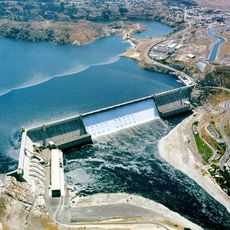
Grand Coulee Dam
46 km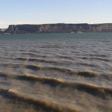
Banks Lake
64 km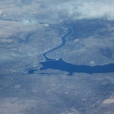
Franklin D. Roosevelt Lake
46 km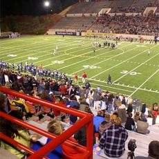
Joe Albi Stadium
77.3 km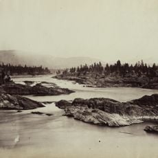
Kettle Falls
68.4 km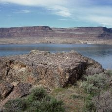
Steamboat Rock State Park
59.9 km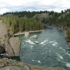
Riverside State Park
71.5 km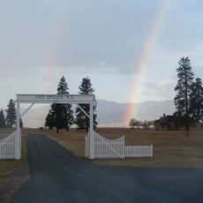
Fort Spokane
16.4 km
Fort Colvile
64.9 km
Omak Rock
76.1 km
Little Pend Oreille National Wildlife Refuge
74.2 km
Sims Corner Eskers and Kames
77.8 km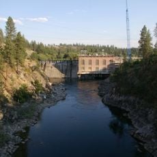
Nine Mile Dam
69.4 km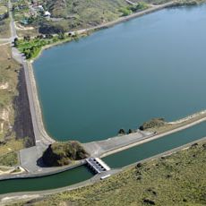
North Dam
49 km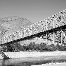
Grand Coulee Bridge
45.8 km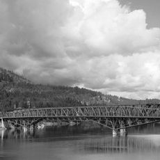
Kettle Falls Bridges
66.8 km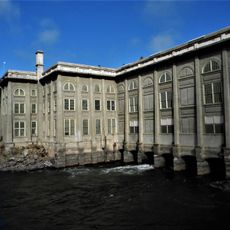
Little Falls Hydroelectric Power Plant
42.4 km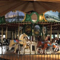
Ferry County Carousel
70.5 km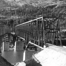
Kettle Falls Railroad Bridge
66.8 km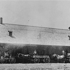
Old Apple Warehouse
66.7 km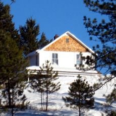
Creaser Hotel
71.3 km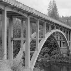
Spokane River Bridge at Long Lake Dam
46 km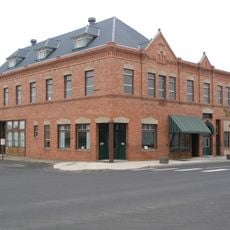
Harrington Bank Block & Opera House
64.3 km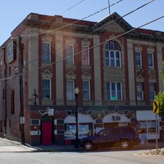
Colville Opera House and Odd Fellows Hall
65.1 km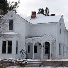
Fairweather–Trevitt House
71.5 km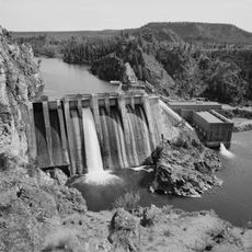
Long Lake Dam
46.8 km
Copper Bowl
64.5 km
Meyers Falls Market
66.7 kmReviews
Visited this place? Tap the stars to rate it and share your experience / photos with the community! Try now! You can cancel it anytime.
Discover hidden gems everywhere you go!
From secret cafés to breathtaking viewpoints, skip the crowded tourist spots and find places that match your style. Our app makes it easy with voice search, smart filtering, route optimization, and insider tips from travelers worldwide. Download now for the complete mobile experience.

A unique approach to discovering new places❞
— Le Figaro
All the places worth exploring❞
— France Info
A tailor-made excursion in just a few clicks❞
— 20 Minutes