Keremeos, village in British Columbia, Canada
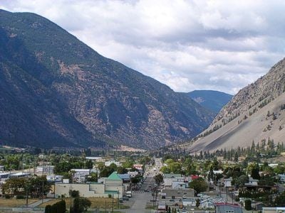
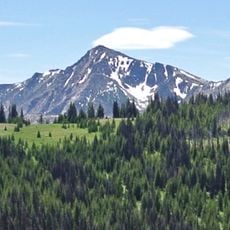
Keremeos is a small village in the Similkameen Valley in British Columbia, surrounded by vineyards and fruit orchards in a dry, sunny landscape. It features colorful fruit stands along the highway, murals and sculptures in town, and small cafes alongside a gently flowing river.
The village developed as a trade center for agricultural products, with a historic mill from 1877 still grinding flour on site today. The Ashnola Bridge, built in 1909, is the last covered bridge of its kind in western Canada and connects the village to Cathedral Provincial Park.
Keremeos is known as the Fruit Stand Capital of Canada because of its many roadside stands selling fresh local produce, and the people working there are happy to share their knowledge about what grows in the area. This tradition shapes how the village presents itself and shows how farming is central to its identity.
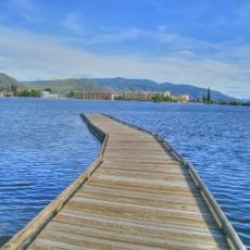
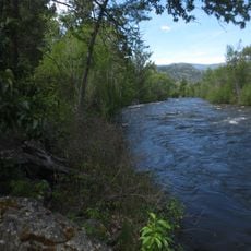
Visitors can easily drive around town and find electric vehicle charging stations. The river and parks offer good spots for relaxing walks, fishing, or floating down the water on tubes during warm summer months.
The Ambrosia Apple variety was discovered by accident in an orchard here and is now known for its sweetness, juiciness, and crisp texture. This discovery led to the establishment of specialty orchards and put the village on the world map for fruit growing.
The community of curious travelers
AroundUs brings together thousands of curated places, local tips, and hidden gems, enriched daily by 60,000 contributors worldwide.