Red Deer River, Major river system in Alberta and Saskatchewan, Canada
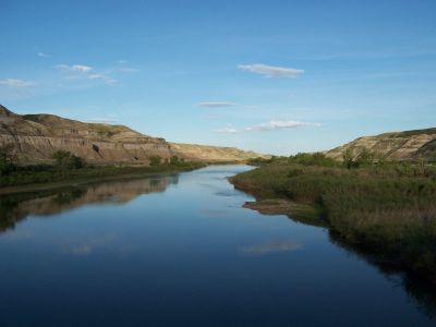
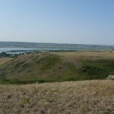
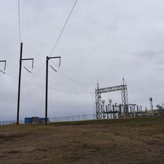
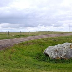
The Red Deer River stretches 724 kilometers from the Canadian Rocky Mountains through Alberta's prairies to Saskatchewan's border, where it joins the South Saskatchewan River. It flows through diverse landscapes, from mountain valleys to open plains, creating a varied water corridor across the provinces.
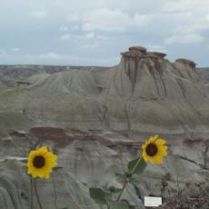
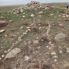
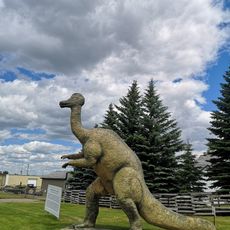
About 18,000 years ago, a glacial flood during the last ice age shaped the river basin and carved out vast badlands. These eroded landscapes exposed Cretaceous fossils that reveal the region's ancient past.
The river takes its name from Cree indigenous peoples who called it Was-ka-soo, meaning elk river. Early Scottish settlers misunderstood this name as red deer, which became the English name used today.
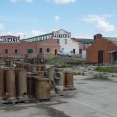
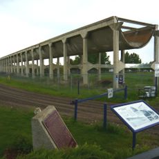
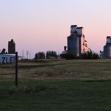
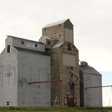
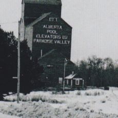
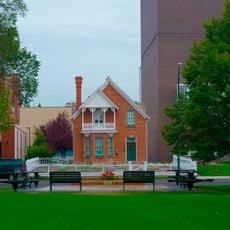
Towns like Red Deer and Drumheller sit along the river and provide access points to explore its banks and nearby natural areas. The river is accessible year-round for activities such as hiking, wildlife viewing, and general exploration.
The river flows through Dinosaur Provincial Park, where researchers have uncovered thirty-nine different dinosaur species in its eroded banks. These fossils provide a window into ancient life that helps scientists understand how creatures lived millions of years ago.
The community of curious travelers
AroundUs brings together thousands of curated places, local tips, and hidden gems, enriched daily by 60,000 contributors worldwide.