Going-to-the-Sun Road

Log in to your account

AroundUs is a community-driven map of interesting places, built by curious explorers like you. It grows with every review, story, and photo you share.
Connect to save your favorite spots, contribute locations, and create personalized routes.
By continuing, you accept our Terms and Conditions and our Privacy Policy
Add to collection
Map
Suggest a change
Share

Going-to-the-Sun Road, Mountain road in Glacier National Park, Montana, US

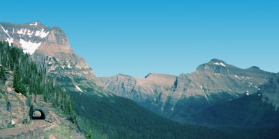
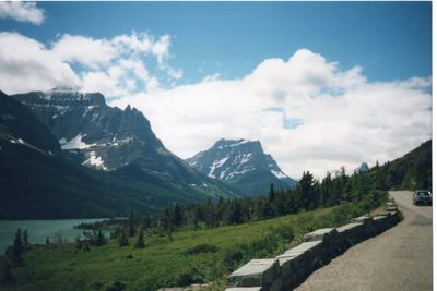
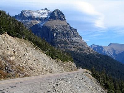
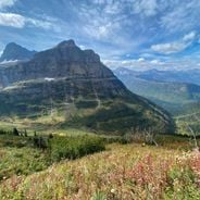
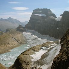
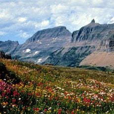
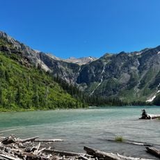
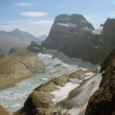
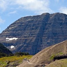
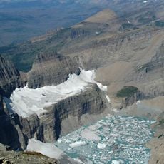
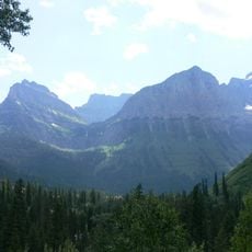
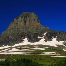
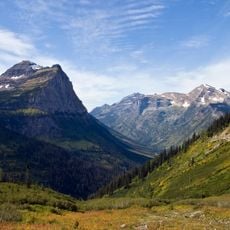
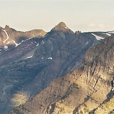
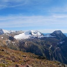
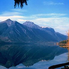
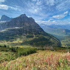
Going-to-the-Sun Road is a high mountain route in Glacier National Park, Montana, that curves for roughly 50 miles (80 kilometers) through the Rocky Mountains, linking the western and eastern sides via Logan Pass above 6600 feet (2000 meters). The route passes glacial lakes, rock walls and thick forests, offering views of valleys and snowy peaks at many points.

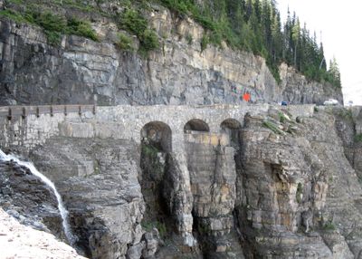
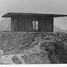
Construction began in 1921 and lasted eleven years, with workers using hand tools and explosives to carve away rock walls and cut curves into the mountain. The opening in 1932 made remote parts of the park accessible to automobile visitors for the first time and set new standards for road engineering in extreme terrain.

The name comes from a Blackfeet legend about a figure who ascended to the sun, and the road today passes through areas that hold spiritual meaning for that community. Hikers and cyclists share the route with cars and often stop at pullouts to watch wildlife like mountain goats or bears in the distance.

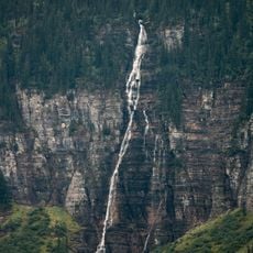
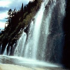
Visitors should start early in the day to avoid traffic and allow time for photo stops at overlooks and short walks to waterfalls. Weather conditions can shift quickly, so it helps to bring warm layers even in summer, especially at higher elevations.

Engineers left rock outcrops standing rather than blasting them away, creating natural arches and tunnels that are now among the most photographed sections. Many of the original stone bridges and retaining walls built from local rock remain in place and are regularly restored to maintain the historical appearance.

Location: Flathead County

Location: Glacier County

Architectural style: National Park Service rustic

GPS coordinates: 48.69500,-113.81700

Latest update: December 4, 2025 23:05

Photos
Visiting Montana: National Parks, Historic Towns, and Glaciers

Montana offers a range of landscapes from the peaks of Glacier National Park to the central plains. The state has several mountain routes including the Going-to-the-Sun Road and the Beartooth Highway, both exceeding 3,000 meters in elevation. Glacial lakes such as Flathead Lake and Lake McDonald...

Around this place
Show the full map Show the full map
Reviews

Visited this place? Tap the stars to rate it and share your experience / photos with the community! Try now! You can cancel it anytime.

« Going-to-the-Sun Road - Mountain road in Glacier National Park, Montana, US » is provided by Around Us (aroundus.com). Images and texts are derived from Wikimedia project under a Creative Commons license. You are allowed to copy, distribute, and modify copies of this page, under the conditions set by the license, as long as this note is clearly visible.

Discover hidden gems everywhere you go!

From secret cafés to breathtaking viewpoints, skip the crowded tourist spots and find places that match your style. Our app makes it easy with voice search, smart filtering, route optimization, and insider tips from travelers worldwide. Download now for the complete mobile experience.

Around Us App Screenshot

A unique approach to discovering new places

Le Figaro

All the places worth exploring

France Info

A tailor-made excursion in just a few clicks

20 Minutes