
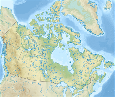
Tornado Mountain, mountain on border of Alberta and British Columbia in Canada
Location: British Columbia
Location: Alberta
Elevation above the sea: 3,099 m
GPS coordinates: 49.96694,-114.65466
Latest update: March 6, 2025 06:12
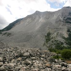
Frank Slide
45.8 km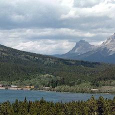
Crowsnest Pass
37.3 km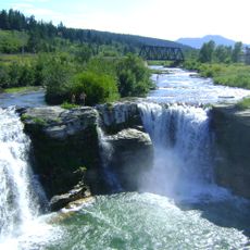
Lundbreck Falls
53.5 km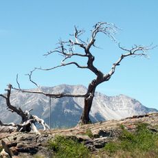
Burmis Tree
52.4 km
St. Mary River Formation
57.1 km
Chain Lakes Provincial Park
42.3 km
Top of the World Provincial Park
55.4 km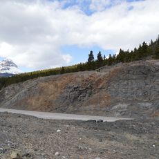
Crowsnest Formation
36.7 km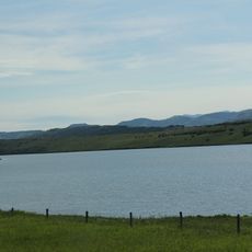
Chain Lakes Reservoir
44.5 km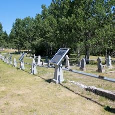
Hillcrest Cemetery
47.9 km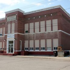
Old Coleman High School
38.5 km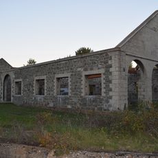
Leitch (Passburg) Collieries
51.2 km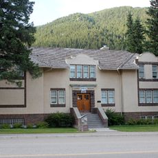
Blairmore Courthouse
43.1 km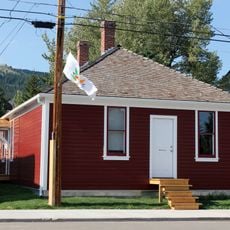
Alberta Provincial Police Building
38.6 km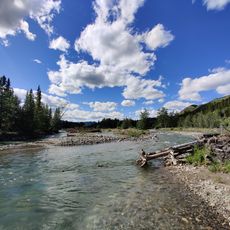
Fitzsimmons Creek Provincial Recreational Area
47.3 km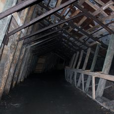
West Canadian Collieries Mine
48.1 km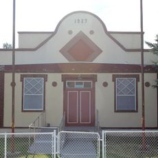
Crowsnest Pass Polish Hall
39 km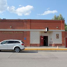
Coleman Legion Hall
38.7 km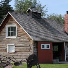
Bar U Ranch Blacksmith Shop
58 km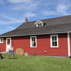
Bunkhouse and Cookhouse
58.1 km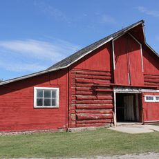
Work Horse Barn, Building 17
58 km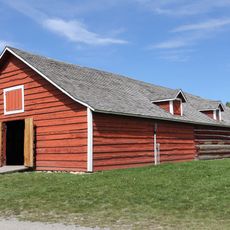
Bar U Ranch Saddle Horse Barn, Building 16
58 km
Vehicle Garage, Building 35
57.9 km
Bar U Ranch Woodshed
57.9 km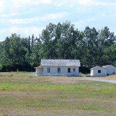
Pearson's House
57.9 km
Root Cellar, Building 13
58 km
Bar U Ranch Implement Shed
58 km
Bar U Ranch Coal Shed
58 kmReviews
Visited this place? Tap the stars to rate it and share your experience / photos with the community! Try now! You can cancel it anytime.
Discover hidden gems everywhere you go!
From secret cafés to breathtaking viewpoints, skip the crowded tourist spots and find places that match your style. Our app makes it easy with voice search, smart filtering, route optimization, and insider tips from travelers worldwide. Download now for the complete mobile experience.

A unique approach to discovering new places❞
— Le Figaro
All the places worth exploring❞
— France Info
A tailor-made excursion in just a few clicks❞
— 20 Minutes