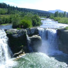
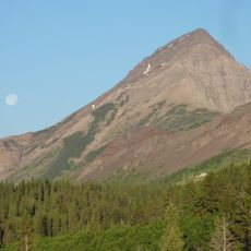
Frank Slide, Landslide site in Crowsnest Pass, Canada
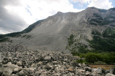
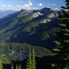
Frank Slide is a wide debris field of limestone boulders at the base of Turtle Mountain in Alberta, covering an area of three square kilometers (1.2 square miles). The boulders lie scattered among trees and open patches, some reaching the roadside and forming a rocky maze of angular blocks.
On April 29, 1903, more than 82 million tons of limestone broke away from Turtle Mountain and buried part of the mining settlement of Frank under rubble. The slide lasted less than two minutes and killed at least 70 people, while some miners underground survived the collapse.
The interpretive center displays stories of miners and their families who stayed in the area after the disaster and rebuilt their lives. Visitors can see how the community coped with loss and continued coal operations despite destroyed homes and infrastructure.
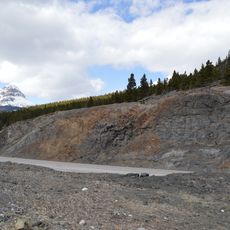
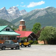
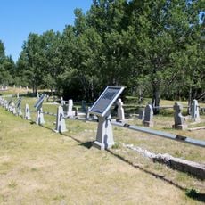
Visitors can walk on marked trails through the boulder field and see the scale of the fallen rock mass up close. The interpretive center sits beside the main highway and offers guided walks from April through October along with information about geology and monitoring efforts.
Scientists monitor the south peak of Turtle Mountain with laser and radar technology because further rock movement remains possible. The instruments detect shifts as small as millimeters and send data to a monitoring system that can trigger warnings if needed.
The community of curious travelers
AroundUs brings together thousands of curated places, local tips, and hidden gems, enriched daily by 60,000 contributors worldwide.