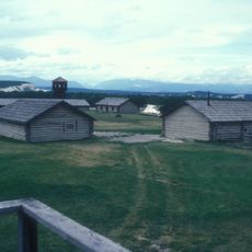
Crowsnest Pass, Railway mountain pass at Continental Divide, Canadian Rockies, Alberta and British Columbia
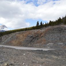
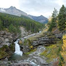
Crowsnest Pass is a low mountain pass across the Continental Divide of the Canadian Rockies on the Alberta–British Columbia border, at 1,356 m. It comprises a valley running east–west through Crowsnest Ridge. The pass is the southernmost rail and highway route through the Canadian Rockies, with the Crowsnest Highway and a railway line running through it.
Canadian Pacific Railway built this line between 1897 and 1898 to tap mineral resources in southeastern mountain regions. The route opened previously isolated mountain areas to broader commerce and settlement.
Indigenous peoples moved seasonally through this mountain passage to trade between high and low communities for centuries before the railway arrived. You can still see the natural corridor they followed, now shaped by modern infrastructure.
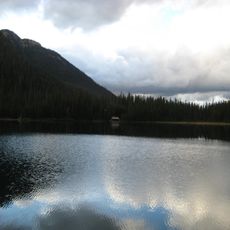
The pass carries both the Crowsnest Highway (Alberta and British Columbia Highway 3) and a Canadian Pacific Railway line, plus an oil pipeline. The highway was blasted around the shore of Crowsnest Lake in 1917 and renamed Interprovincial Highway Three in 1932. The summit sits at 1,356 m on the Continental Divide, so expect mountain weather at any season.
The pass is the richest archaeological zone in the Canadian Rockies: Clovis stone tools found on a ridge outside Frank date to 11,000 years before present, and chert quarries on the Livingstone ridge go back to 1000 BC.
The community of curious travelers
AroundUs brings together thousands of curated places, local tips, and hidden gems, enriched daily by 93,782 contributors worldwide.