Top of the World Provincial Park, Nature reserve in Area C Moyie Bull River, Canada.
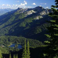
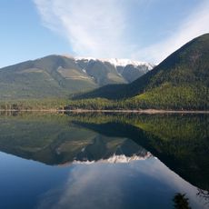
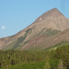
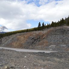
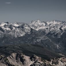
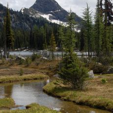
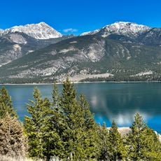
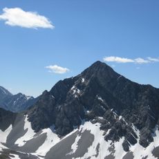
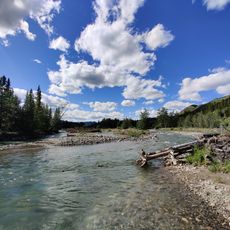
Top of the World Provincial Park covers about 8,790 hectares in the Kootenay Ranges of southeastern British Columbia, northeast of Cranbrook. Mount Morro rises to 2,845 m, the highest point, while the Lussier River valley drops to roughly 1,600 m. Fish Lake is the largest lake, and the Top of the World Pass lies west of Mount Morro.
The Ktunaxa held this area as traditional territory and quarried chert here, a stone used to make tools and weapons; many archaeological sites remain in the park. The park was designated in 2000 under British Columbia's Protected Areas of British Columbia Act.
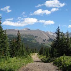
The park shows how mountains shape life in British Columbia and how people connect with this land. You can feel this relationship through the trails and the way the terrain has been used over time.
The park is reached only via logging roads off Highway 93 or Highway 95, so check road conditions before setting out. Anglers, hikers and mountaineers are its main users; the lowest ground is the Lussier River valley at about 1,600 m, and Mount Morro rises to 2,845 m. Carry maps and gear for the elevation you plan to reach.
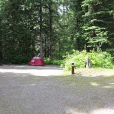
A basic cabin at Fish Lake provides shelter within the park, allowing visitors to stay overnight in this high-elevation setting. This accommodation option enables people to spend extended time exploring the area and experiencing the mountain environment fully.
The community of curious travelers
AroundUs brings together thousands of curated places, local tips, and hidden gems, enriched daily by 94,241 contributors worldwide.