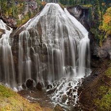
Upper Mesa Falls, Waterfall in Caribou-Targhee National Forest, Idaho, US.
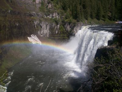
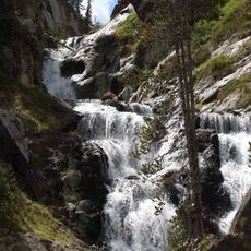
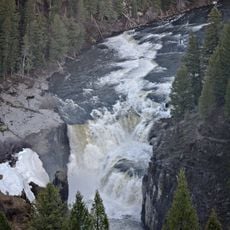
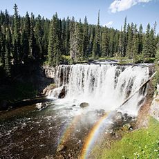
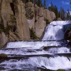
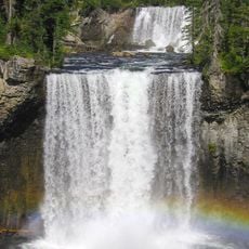
Upper Mesa Falls is a waterfall on the Henrys Fork of the Snake River in Fremont County, Idaho, dropping about 115 feet (35 m) across a face roughly 200 feet (61 m) wide. It sits in dense conifer forest on a volcanic plateau, forming one of two major cascades along this stretch of river.
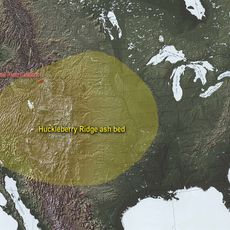
The falls took shape after volcanic eruptions around 1.3 million years ago laid down a thick layer of rhyolitic rock known as the Mesa Falls Tuff. The river has been cutting through this rock ever since, slowly carving the channel visible today.
The name "Mesa Falls" refers to the flat, table-like volcanic plateau over which the river runs before it drops. Visitors who look closely at the edges of the falls can clearly see the layered rock that gives the plateau its shape.
A short loop trail with a boardwalk and observation platforms leads to the best views directly over the falls. The path is well marked from the Mesa Falls Scenic Byway and is accessible for most visitors, including those with limited mobility.
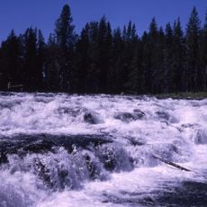
Along much of the Snake River system, dams and diversions have changed the way water flows, but this section of the Henrys Fork has never been dammed. The falls run at their natural volume, which makes the experience here noticeably different from most other waterfalls in the region.
The community of curious travelers
AroundUs brings together thousands of curated places, local tips, and hidden gems, enriched daily by 60,000 contributors worldwide.