Lower Mesa Falls, Waterfall in Fremont County, Idaho.
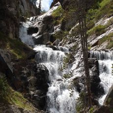
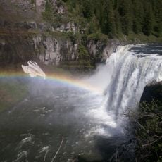
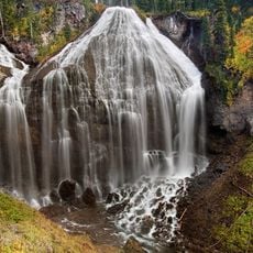
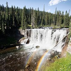
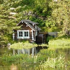
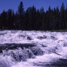
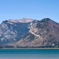
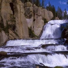
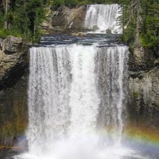
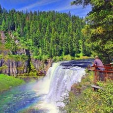
Lower Mesa Falls plunges over volcanic rock layers, forming a series of cascades along a river in the region's volcanic landscape. The falls feature dark vertical cliffs with scattered boulders at its base.
Lower Mesa Falls lies on the Henrys Fork of the Snake River, downstream of Upper Mesa Falls, in Fremont County, Idaho, about 26 km from Ashton. The river drops 20 m (65 ft) here within Caribou-Targhee National Forest, and the site is a stop on the Mesa Falls Scenic Byway.
Lower Mesa Falls lies on the Henrys Fork about 26 km from Ashton, in the Caribou-Targhee National Forest, and is reached by the Mesa Falls Scenic Byway. The byway passes the falls, so visitors view them from the road corridor rather than on a long hike. The falls sit downstream of Upper Mesa Falls, and the two are usually seen on the same drive.
Lower Mesa Falls lies on the Henrys Fork in Fremont County, Idaho, about 26 km from Ashton, inside Caribou-Targhee National Forest. It sits on the Mesa Falls Scenic Byway, downstream of Upper Mesa Falls, so drivers reach it by road along the byway. The sources give no details on paths, ramps or platforms.
Lower Mesa Falls is the second of the two drops on the Henrys Fork along the Mesa Falls Scenic Byway, lying downstream of Upper Mesa Falls. Visitors driving the byway pass the upper falls first, then reach this 65-foot (20 m) fall in the Caribou-Targhee National Forest, about 26 km from Ashton.
The community of curious travelers
AroundUs brings together thousands of curated places, local tips, and hidden gems, enriched daily by 94,126 contributors worldwide.