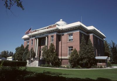
Fremont County, Administrative county in eastern Idaho, United States
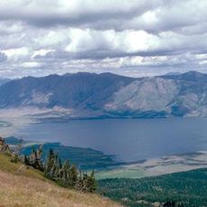
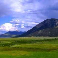
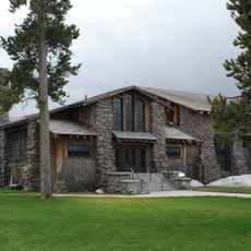
Fremont County is an administrative county in eastern Idaho that spans a large area of varied terrain. It includes the city of St. Anthony and portions of the Rexburg metropolitan area, along with mountains, valleys, and land surrounding the Teton National Park.
The region was first the domain of fur traders and trappers who worked the rivers and mountain ranges of the wild western landscape. It became a separate county in 1893 and took its name from John Charles Fremont, a famous 19th-century explorer.
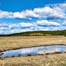
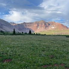
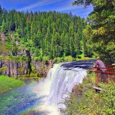
The Henry's Fork valley and Teton region have shaped how people live and work here, from early fur traders to today's residents. The land and its resources remain central to local identity and how communities connect with their surroundings.
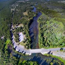
Most visitors pass through the county to reach natural landscapes and nearby national parks, so expect longer driving times to explore the area. Good roads connect the main towns, but remote valleys and mountain passes can be difficult to navigate depending on the season.
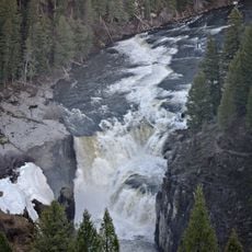
Along the banks of Conant Creek, Andrew Henry operated the first American fur trading post west of the Rocky Mountains in 1810. This early outpost marked the beginning of intense trapper and trading activity that defined the region for decades to come.
The community of curious travelers
AroundUs brings together thousands of curated places, local tips, and hidden gems, enriched daily by 60,000 contributors worldwide.