Mountain States, Geographic division in Western United States.
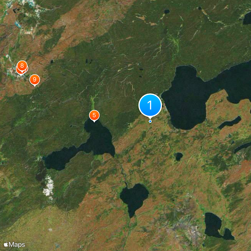
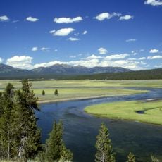
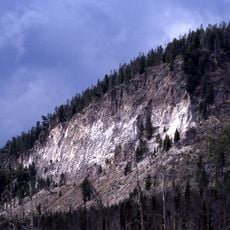
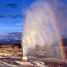
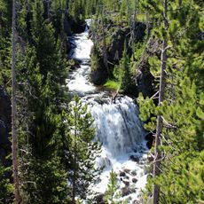
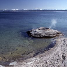
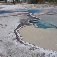
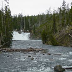
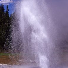
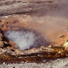
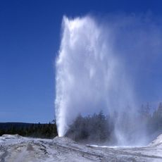
The Mountain States form a geographic division in the western United States, covering eight states that stretch from the Canadian border to the Mexican border. These states share high mountain ranges, wide valleys, desert regions, and a number of national parks where visitors can hike, camp, and observe wildlife.
This division took shape in the 19th century, when settlers moved through mountain passes and founded communities based on mining, ranching, and farming. Railway lines connected remote valleys and opened the territory to trade and new settlers.
Indigenous peoples gave this territory many names referring to mountains, valleys, and sacred sites, and their languages are still spoken in communities and schools today. Many festivals, markets, and ceremonial dances take place throughout the year and offer visitors insight into living traditions.
Travelers should keep in mind that elevation differences can affect physical exertion, especially during the first days after arrival. Weather conditions change quickly in the mountains, so layered clothing and rain protection are advisable.
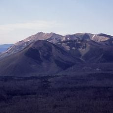
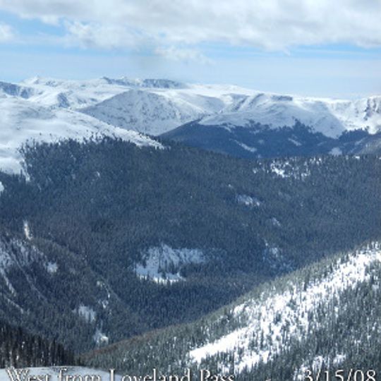
Some peaks in this territory carry snow even in midsummer, offering hikers in July or August surprising views. Wildflower meadows often bloom late in the season, when lower areas have already become dry.
The community of curious travelers
AroundUs brings together thousands of curated places, local tips, and hidden gems, enriched daily by 92,556 contributors worldwide.