Wheatland County, Administrative county in Montana, United States
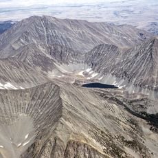
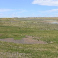
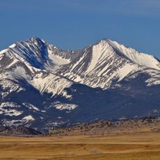
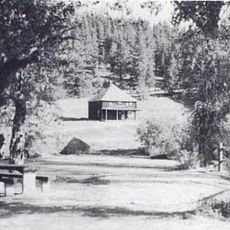
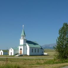
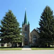
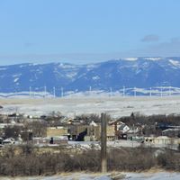
Wheatland County is an administrative county in central Montana with extensive farming land that spreads across diverse terrain. The county encompasses agricultural fields mixed with natural landscape features and serves as a large rural region.
The county came into being in 1917 when territories from neighboring counties were divided to form a new administrative region. This reorganization allowed better management of the growing rural area.
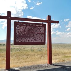
Farming shapes how people live here, with wheat growing remaining at the heart of what the region means to its residents. You will notice agricultural themes in the local communities and understand how deeply rooted this work is in everyday life.
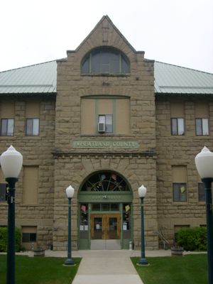
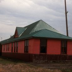
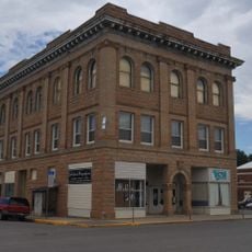
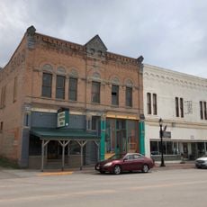
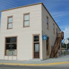
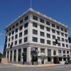
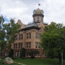
The county seat of Harlowton serves as the main hub for government services in the region. This town is the central location for administrative matters affecting the wider area.
The county operates four separate polling locations to serve voters across its territory. This distribution allows residents in rural areas to vote closer to their homes.
Location: Montana
Inception: February 22, 1917
Capital city: Harlowton
Shares border with: Judith Basin County, Sweet Grass County, Meagher County, Fergus County, Golden Valley County
Website: http://harlowtonchamber.com
GPS coordinates: 46.47000,-109.84000
Latest update: December 10, 2025 15:47
Crazy Peak
60.5 km
Big Baldy Mountain
80.6 km
Greycliff Prairie Dog Town State Park
79.2 km
Byron R. Sherman House
81.7 km
Hailstone National Wildlife Refuge
72.5 km
Fergus County High School
72.9 km
Loco Mountain
46.9 km
Milwaukee Road Historic District
4.5 km
Michael Jacobs House
102.7 km
Judith River Ranger Station
54.3 km
Masonic Temple
73.3 km
Parberry Block East
81.9 km
Roundup Central School
99.4 km
Lavina State Bank
72 km
St. Benedict's Catholic School
99.5 km
Lewistown Central Business Historic District
73.3 km
Carnegie Public Library
71.5 km
Abraham and Mary Walton Hogeland House
73.2 km
Lewistown Courthouse Historic District
72.9 km
Anderson House
72.6 km
Lewistown Silk Stocking District
73.5 km
Melville Lutheran Church
43 km
Huntoon Residence
72.5 km
Big Timber Lutheran Church
71.6 km
Charles M Bair Family Museum
36.7 km
St Mark's Episcopal Church (Big Timber)
71.6 km
Smith River Valley Historical Marker
81.7 km
St. James Lutheran Church (Columbus, Montana)
102.9 kmVisited this place? Tap the stars to rate it and share your experience / photos with the community! Try now! You can cancel it anytime.
Discover hidden gems everywhere you go!
From secret cafés to breathtaking viewpoints, skip the crowded tourist spots and find places that match your style. Our app makes it easy with voice search, smart filtering, route optimization, and insider tips from travelers worldwide. Download now for the complete mobile experience.
A unique approach to discovering new places❞
— Le Figaro
All the places worth exploring❞
— France Info
A tailor-made excursion in just a few clicks❞
— 20 Minutes