Park County

Log in to your account

AroundUs is a community-driven map of interesting places, built by curious explorers like you. It grows with every review, story, and photo you share.
Connect to save your favorite spots, contribute locations, and create personalized routes.
By continuing, you accept our Terms and Conditions and our Privacy Policy
Add to collection
Map
Suggest a change
Share

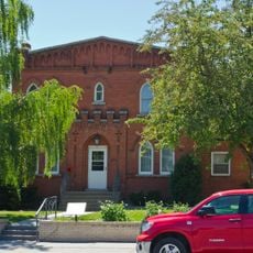
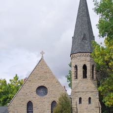
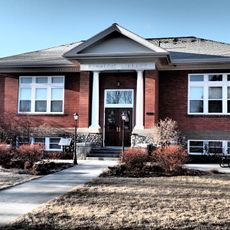
Park County, Administrative division in Montana, United States.

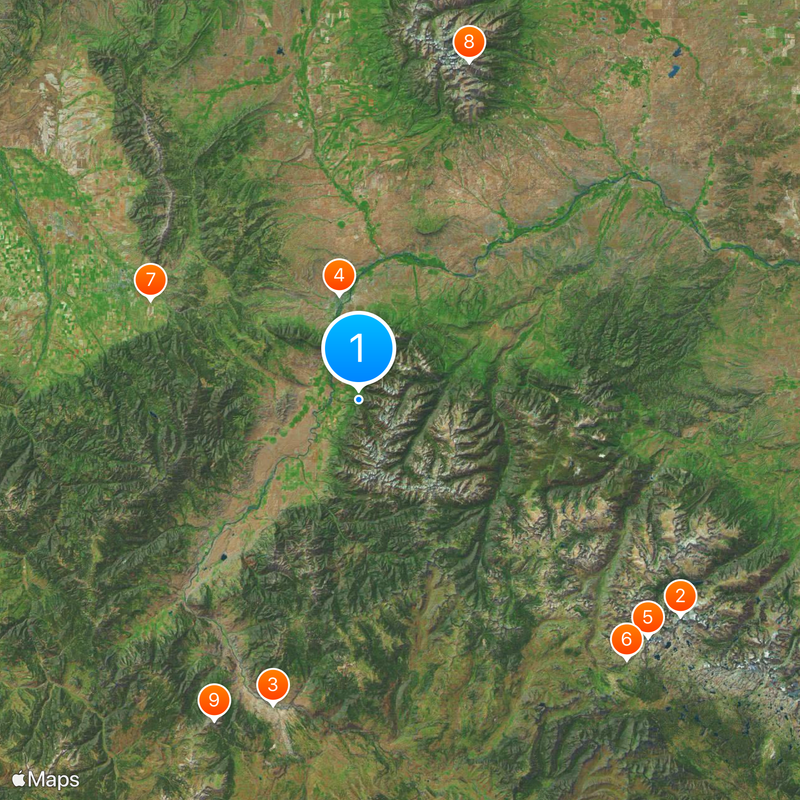
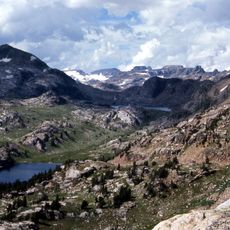
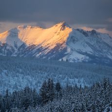
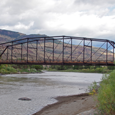
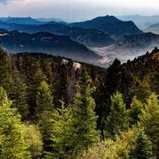
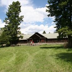
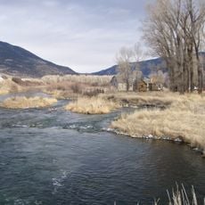
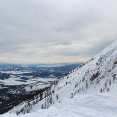
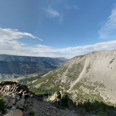
Park County is an administrative division in Montana that spans diverse terrain with agricultural lands, mountain ranges, and natural environments at varying elevations. The landscape combines extensive farming areas with forested and alpine regions that create a mosaic of different ecosystems.

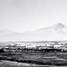
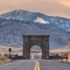
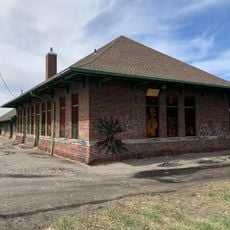
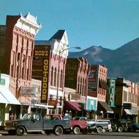
The territory became a county during westward expansion when early settlers established communities along key trade routes through Montana. This early settlement laid the foundation for the agricultural structure that still defines the region today.

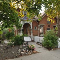
The people here maintain deep connections to ranching and livestock traditions that shape community life today. Year-round events celebrate this agricultural heritage and keep these practices at the center of local identity.

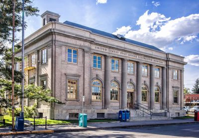
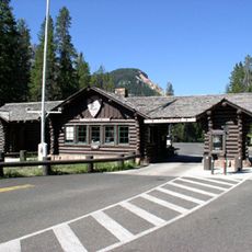
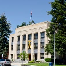
County administrative services operate at multiple locations and assist residents with vehicle registration, property tax payments, and permits. It helps to check in advance which locations handle specific services and their operating hours.

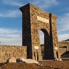
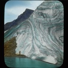
The territory contains multiple thermal springs and geothermal features connected to the Yellowstone geothermal system. These natural phenomena are remnants of an active geological past that visitors often overlook.

Location: Montana

Inception: February 23, 1887

Capital city: Livingston

Shares border with: Meagher County, Park County, Sweet Grass County, Stillwater County, Carbon County, Gallatin County

Website: http://parkcounty.org

GPS coordinates: 45.50000,-110.52000

Latest update: December 7, 2025 10:03

Photos
Around this place
Show the full map
Granite Peak
United States of America

Granite Peak

66.5 km
Roosevelt Arch
United States of America

Roosevelt Arch

54.4 km
The Murray Hotel
United States of America

The Murray Hotel

18.3 km
Grasshopper Glacier
United States of America

Grasshopper Glacier

64.3 km
Absaroka-Beartooth Wilderness
United States of America

Absaroka-Beartooth Wilderness

64 km
Fort Ellis
United States of America

Fort Ellis

39.5 km
Crazy Peak
United States of America

Crazy Peak

60.7 km
Electric Peak
United States of America

Electric Peak

60.4 km
North Entrance Road Historic District
United States of America

North Entrance Road Historic District

58.1 km
Carbella Bridge
United States of America

Carbella Bridge

44.4 km
First Presbyterian Church, Bozeman
United States of America

First Presbyterian Church, Bozeman

44.9 km
Mount Wood
United States of America

Mount Wood

60.7 km
Bozeman Depot
United States of America

Bozeman Depot

44.7 km
Samuel Lewis House
United States of America

Samuel Lewis House

44.5 km
Northeast Entrance Station
United States of America

Northeast Entrance Station

68.1 km
OTO Homestead and Dude Ranch
United States of America

OTO Homestead and Dude Ranch

44.2 km
DePuy Spring Creek
United States of America

DePuy Spring Creek

8.8 km
Bridger Bowl Ski Area
United States of America

Bridger Bowl Ski Area

45.9 km
Bozeman Public Library
United States of America

Bozeman Public Library

44.2 km
Museum of the Rockies
United States of America

Museum of the Rockies

44.6 km
Custer Gallatin National Forest

Custer Gallatin National Forest

26.1 km
Bozeman Carnegie Library
United States of America

Bozeman Carnegie Library

44.8 km
Bon Ton Historic District
United States of America

Bon Ton Historic District

45.3 km
Holy Rosary Church Rectory
United States of America

Holy Rosary Church Rectory

45.1 km
St. James Episcopal Church and Rectory
United States of America

St. James Episcopal Church and Rectory

44.9 km
Carnegie Public Library
United States of America

Carnegie Public Library

57.6 km
Gallatin County Courthouse
United States of America

Gallatin County Courthouse

45.3 km
B Street District
United States of America

B Street District

18 km
Show the full map
Reviews

Visited this place? Tap the stars to rate it and share your experience / photos with the community! Try now! You can cancel it anytime.

Administrative divisions
« Park County - Administrative division in Montana, United States » is provided by Around Us (aroundus.com). Images and texts are derived from Wikimedia project under a Creative Commons license. You are allowed to copy, distribute, and modify copies of this page, under the conditions set by the license, as long as this note is clearly visible.

Discover hidden gems everywhere you go!

From secret cafés to breathtaking viewpoints, skip the crowded tourist spots and find places that match your style. Our app makes it easy with voice search, smart filtering, route optimization, and insider tips from travelers worldwide. Download now for the complete mobile experience.

Around Us App Screenshot

A unique approach to discovering new places

Le Figaro

All the places worth exploring

France Info

A tailor-made excursion in just a few clicks

20 Minutes