Judith Basin County, County in Central Montana, US.
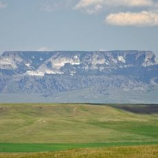
Judith Basin County is a rural county in central Montana situated between mountain ranges that frame the landscape. The terrain consists of open grasslands, pastures, and forested areas interspersed throughout the region.
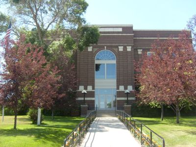
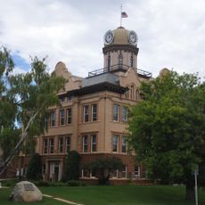
The county was established in 1920 from portions of neighboring counties, with Stanford becoming the seat of government. This creation allowed local communities to manage their own affairs more directly.
The region revolves around farming and ranching, activities that shape how people live and work across the landscape. Visitors see cattle herds and grain fields that define the daily rhythm of the community.
The area is sparsely populated with services spread across wide distances, requiring advance planning for any visit. Travelers should expect long drives between destinations and prepare for limited availability of amenities.
The area is home to Yogo sapphires, rare blue gemstones discovered in the 1890s that attracted miners and brought attention to the region. This gem source remains a distinctive feature of the territory.
The community of curious travelers
AroundUs brings together thousands of curated places, local tips, and hidden gems, enriched daily by 60,000 contributors worldwide.