Great Falls, Natural cascade system in central Montana, United States
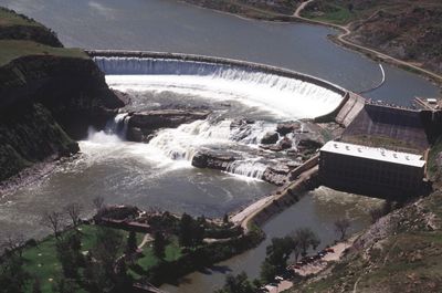
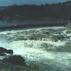
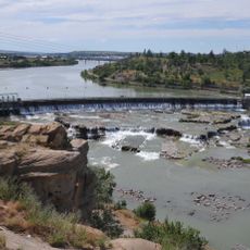
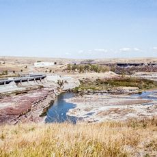
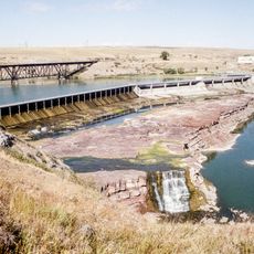
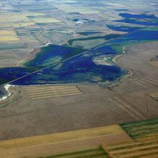
Great Falls consists of five waterfalls along the Missouri River in central Montana, with the main drop reaching approximately 87 feet high and 900 feet wide. This cascade system forms a dramatic sequence across the riverbed in the heart of the state.
Captain Meriwether Lewis first documented the falls in 1805 during the Lewis and Clark Expedition, marking a major point in the exploration of western territories. The discovery proved crucial for understanding the river's geography and the region's resources.
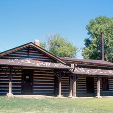
Native American tribes relied on the falls area for generations as important fishing grounds and established trading routes near these waters. The waterfalls were central to the lives and commerce of peoples living in the region.
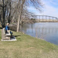
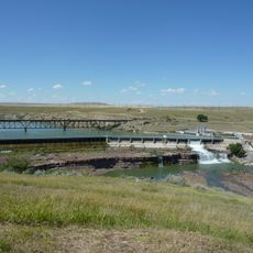
Ryan Island Park provides the main viewing area with a suspension bridge crossing the Missouri River for close views of the waterfalls. Be prepared for water levels that vary significantly with seasons and weather conditions.
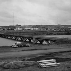
Water flow and waterfall visibility are significantly affected by hydroelectric dams upstream, making some falls like Colter Falls visible only during extreme drought conditions. This demonstrates how modern infrastructure shapes the appearance of this natural landmark.
The community of curious travelers
AroundUs brings together thousands of curated places, local tips, and hidden gems, enriched daily by 60,000 contributors worldwide.