Sweet Grass County

Log in to your account

AroundUs is a community-driven map of interesting places, built by curious explorers like you. It grows with every review, story, and photo you share.
Connect to save your favorite spots, contribute locations, and create personalized routes.
By continuing, you accept our Terms and Conditions and our Privacy Policy
Add to collection
Map
Suggest a change
Share

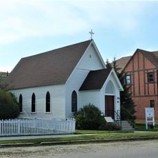
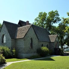
Sweet Grass County, Administrative division in Montana, United States.

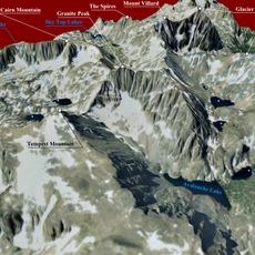
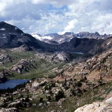
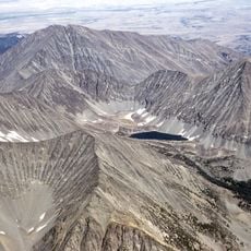
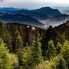
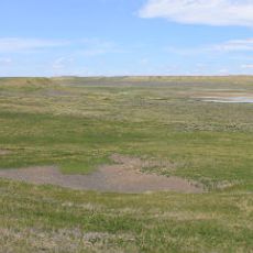
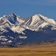
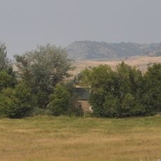
Sweet Grass County is an administrative division in south-central Montana that covers forests and mountain areas. The region encompasses roughly 1,862 square miles and includes portions of several national forests within its territory.

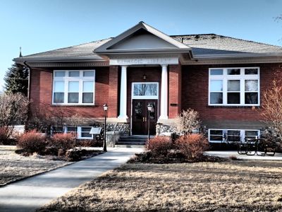
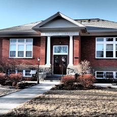
The division was created in 1895 through a redistribution of lands from Park, Meagher, and Yellowstone counties. Big Timber was established as the county seat and has remained its administrative center since then.

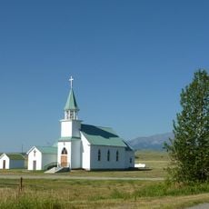
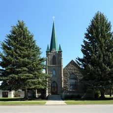
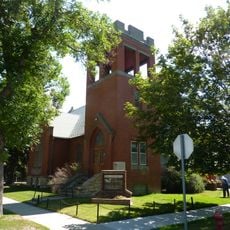
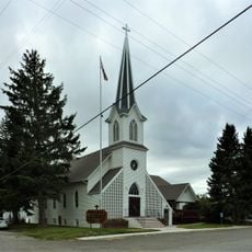
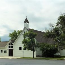
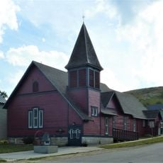
Residents maintain connections to German, Norwegian, and Irish ancestry, which shows up in local celebrations and community gatherings throughout the year. These heritage ties shape how people gather and celebrate together.

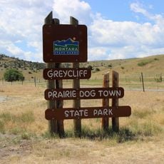
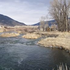
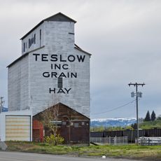
Big Timber serves as the administrative center and reference point for visitors exploring the area. Interstate 90 and U.S. Highway 191 run through the region, providing convenient access routes.

The region contains portions of three national forests—Custer, Gallatin, and Lewis and Clark—which provide diverse recreation and natural resources. These forest areas play an important role in the region's daily life and economy.

GPS coordinates: 45.87294,-109.95039

Latest update: December 8, 2025 13:42

Photos
Around this place
Show the full map
Granite Peak
United States of America

Granite Peak

79.3 km
The Murray Hotel
United States of America

The Murray Hotel

53 km
Grasshopper Glacier
United States of America

Grasshopper Glacier

82.4 km
Absaroka-Beartooth Wilderness
United States of America

Absaroka-Beartooth Wilderness

86.1 km
Crazy Peak
United States of America

Crazy Peak

30 km
Mount Wood
United States of America

Mount Wood

67.4 km
Greycliff Prairie Dog Town State Park
United States of America

Greycliff Prairie Dog Town State Park

18.3 km
DePuy Spring Creek
United States of America

DePuy Spring Creek

60.6 km
Hailstone National Wildlife Refuge
United States of America

Hailstone National Wildlife Refuge

61.5 km
Loco Mountain
United States of America

Loco Mountain

49.2 km
Michael Jacobs House
United States of America

Michael Jacobs House

59.6 km
Oliver H. Hovda House
United States of America

Oliver H. Hovda House

55.7 km
Carnegie Public Library
United States of America

Carnegie Public Library

4.5 km
Calvary Episcopal Church
United States of America

Calvary Episcopal Church

93.9 km
B Street District
United States of America

B Street District

52.6 km
Stoltz House
United States of America

Stoltz House

85.1 km
Joliet Bridge
United States of America

Joliet Bridge

88 km
Rolfson House
United States of America

Rolfson House

60.7 km
Melville Lutheran Church
United States of America

Melville Lutheran Church

26.2 km
Livingston Depot
United States of America

Livingston Depot

53 km
Big Timber Lutheran Church
United States of America

Big Timber Lutheran Church

4.6 km
Redeemer Lutheran Church (Livingston, Montana)
United States of America

Redeemer Lutheran Church (Livingston, Montana)

53.3 km
Immanuel Lutheran Church (Absarokee)
United States of America

Immanuel Lutheran Church (Absarokee)

55.9 km
St Mark's Episcopal Church (Big Timber)
United States of America

St Mark's Episcopal Church (Big Timber)

4.6 km
Empire Twin Theater
United States of America

Empire Twin Theater

53 km
Teslow Grain Elevator
United States of America

Teslow Grain Elevator

52.2 km
St. James Lutheran Church (Columbus, Montana)
United States of America

St. James Lutheran Church (Columbus, Montana)

59.8 km
Beartooth Mountain Baptist Church (Red Lodge)
United States of America

Beartooth Mountain Baptist Church (Red Lodge)

93.8 km
Show the full map
Reviews

Visited this place? Tap the stars to rate it and share your experience / photos with the community! Try now! You can cancel it anytime.

« Sweet Grass County - Administrative division in Montana, United States » is provided by Around Us (aroundus.com). Images and texts are derived from Wikimedia project under a Creative Commons license. You are allowed to copy, distribute, and modify copies of this page, under the conditions set by the license, as long as this note is clearly visible.

Discover hidden gems everywhere you go!

From secret cafés to breathtaking viewpoints, skip the crowded tourist spots and find places that match your style. Our app makes it easy with voice search, smart filtering, route optimization, and insider tips from travelers worldwide. Download now for the complete mobile experience.

Around Us App Screenshot

A unique approach to discovering new places

Le Figaro

All the places worth exploring

France Info

A tailor-made excursion in just a few clicks

20 Minutes