Enable Location

We need your location to show you interesting places around you

Discover nearby places

Find interesting locations and hidden gems around you

Precise directions

Get accurate directions and distances to places

Your location is never shared with other users. It's only used when you tap the location button.

Yellowstone County

Log in to your account

Start exploring — it's free

Trusted by 62,583 travelers worldwide

Continue with Google
Continue with Apple
or

We will send you a code to connect

By continuing, you accept our Terms and Conditions and our Privacy Policy

Check your inbox

We've sent a pincode in your inbox. Please enter the code below.

Yellowstone County, Administrative division in Montana, United States.

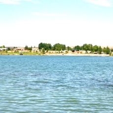
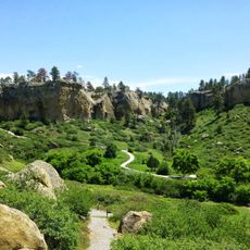
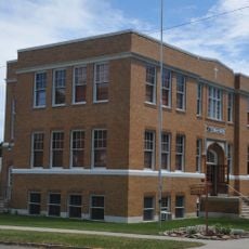
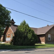
Yellowstone County is an administrative division in Montana carved by the Yellowstone River, combining urban and rural areas in one region. The landscape shifts between developed zones around Billings and sprawling farmland with pastures and ranches.

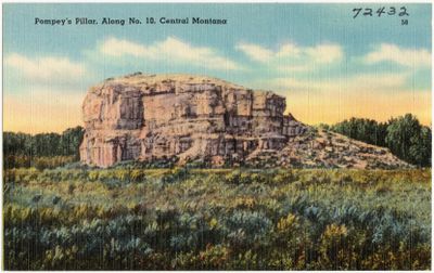
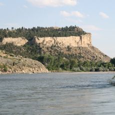
The area was established as a county in 1883 and named after the Yellowstone River, known for its yellow sandstone cliffs. This naming reflects the geographic features that had defined the landscape long before the county's creation.

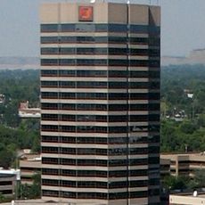
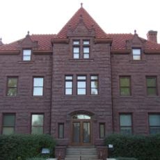
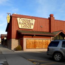
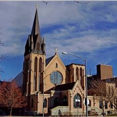
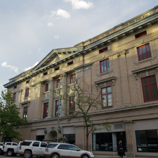
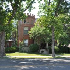
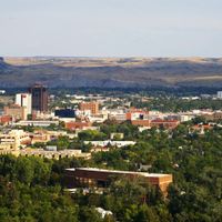
Billings, the largest city in the area, shapes daily life here with a blend of modern city living and western heritage. You will see how cowboys, artists, and business people work and live side by side in the streets and local shops.

The area is crossed by major highways like Interstate 90 and Interstate 94, providing good connections for travelers. The road networks make it easy to reach the different parts of the region.

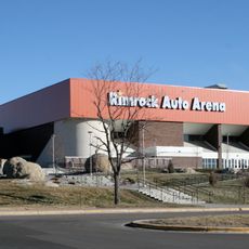
MetraPark is a large event complex in the region that draws thousands of visitors annually to agricultural exhibitions and shows. This venue serves as the gathering point for regional trade fairs and entertainment events that reflect Montana life.

The community of curious travelers

AroundUs brings together thousands of curated places, local tips, and hidden gems, enriched daily by 60,000 contributors worldwide.

Start exploring
Location
Inception
1893
Capital city
Billings
Shares border with
Musselshell County, Rosebud County, Treasure County, Big Horn County, Carbon County, Stillwater County, Golden Valley County
GPS coordinates
45.94000,-108.27000
Latest update
December 20, 2025 02:27
Around this place
Lewis and Clark National Historic Trail
United States of America

Lewis and Clark National Historic Trail

21.4 km
Pictograph Cave
United States of America

Pictograph Cave

25 km
First Interstate Center
United States of America

First Interstate Center

25.6 km
Rimrocks
United States of America

Rimrocks

28.5 km
Moss Mansion
United States of America

Moss Mansion

26.1 km
ZooMontana
United States of America

ZooMontana

35.9 km
United States of America

Fort Custer

59 km
Rimrock Auto Arena at MetraPark
United States of America

Rimrock Auto Arena at MetraPark

22.4 km
Lake Elmo State Park
United States of America

Lake Elmo State Park

19.6 km
United States of America

Yellowstone Art Museum

25.1 km
Dude Rancher Lodge
United States of America

Dude Rancher Lodge

26.8 km
Northern Hotel
United States of America

Northern Hotel

25.3 km
Western Heritage Center
United States of America

Western Heritage Center

25.5 km
St. Patrick's Co-Cathedral
United States of America

St. Patrick's Co-Cathedral

25.7 km
United States of America

Billings Studio Theater

27.1 km
United States of America

Boothill Cemetery

22.3 km
Pictograph Cave State Park
United States of America

Pictograph Cave State Park

25.8 km
United States of America

Big Horn River Bridge

66.2 km
Roundup Central School
United States of America

Roundup Central School

60.3 km
The Reef
United States of America

The Reef

34.5 km
St. Benedict's Catholic School
United States of America

St. Benedict's Catholic School

60.2 km
United States of America

United Methodist Episcopal Church

60.8 km
Prescott Commons
United States of America

Prescott Commons

27 km
St. Joseph's Catholic Church
United States of America

St. Joseph's Catholic Church

56.2 km
Masonic Temple
United States of America

Masonic Temple

25.3 km
First Baptist Church
United States of America

First Baptist Church

56.3 km
Austin North House
United States of America

Austin North House

25.3 km
Fire House No. 2
United States of America

Fire House No. 2

25.6 km
Show the full map
Administrative divisions
« Yellowstone County - Administrative division in Montana, United States » is provided by Around Us (aroundus.com). Images and texts are derived from Wikimedia project under a Creative Commons license. You are allowed to copy, distribute, and modify copies of this page, under the conditions set by the license, as long as this note is clearly visible.

Discover hidden gems everywhere you go!

From secret cafés to breathtaking viewpoints, skip the crowded tourist spots and find places that match your style. Our app makes it easy with voice search, smart filtering, route optimization, and insider tips from travelers worldwide. Download now for the complete mobile experience.

Around Us App Screenshot

A unique approach to discovering new places

Le Figaro

All the places worth exploring

France Info

A tailor-made excursion in just a few clicks

20 Minutes

Around Us
Travel Guide & Maps
Download

Send to your phone

QR Code
1

Open the camera app on your mobile.

2

Point at the QR code with your camera. A notification will appear.

3

Tap the notification to open the link.