Chest opened
+${chestReward.xp} XP
Explorer
NOUVEAU ×${chestReward.collectible.quantity}
tapez pour fermer

See the monuments around you in AR Open chests in the app

Around Us is built for your phone — point your camera at the streets and discover the monuments and places around you in augmented reality. Around Us is built for your phone — chests unlock when you walk, explore and capture nearby places.

Enable Location

We need your location to show you interesting places around you

Discover nearby places

Find interesting locations and hidden gems around you

Precise directions

Get accurate directions and distances to places

Your location is never shared with other users. It's only used when you tap the location button.

Log in to your account

Start exploring — it's free

Trusted by 84,005 travelers worldwide

Continue with Google
Continue with Apple
or

We will send you a code to connect

By continuing, you accept our Terms and Conditions and our Privacy Policy

Check your inbox

We've sent a pincode in your inbox. Please enter the code below.

Discussion Reviews Photo
1.8k Popularity

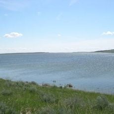
Lake Mason National Wildlife Refuge, Wildlife refuge in Musselshell County, Montana.

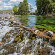
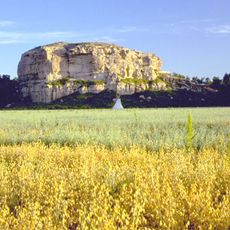
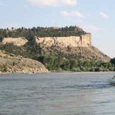
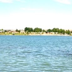
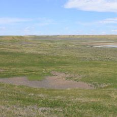
Lake Mason National Wildlife Refuge is a protected area in central Montana spread across three separate units. It features mixed grassland, shrubland, and wetland habitats where different animals live and feed throughout the year.

The area was used for hunting by indigenous peoples for centuries, particularly for buffalo. The Willow Creek Unit still contains archaeological remains from these prehistoric hunting practices.

The refuge maintains scientific research programs to monitor and preserve native plants, wildlife species, and their natural habitats within the Montana prairie ecosystem.

Visitors can reach the refuge from Highway 87 near Roundup by following local roads to each unit. It helps to plan ahead since the different areas require some navigation and are not all easily accessible.

Prairie dog burrows within the refuge create homes for specialized bird species like mountain plovers and burrowing owls. These underground colonies are visible across the grassland and show how different species depend on each other.

The community of curious travelers

AroundUs brings together thousands of curated places, local tips, and hidden gems, enriched daily by 60,000 contributors worldwide.
Start exploring
Location
Operator
US Fish and Wildlife Service
GPS coordinates
46.73186,-108.78895
Latest update
August 4, 2026 17:39
Around this place
Lewis and Clark National Historic Trail
United States of America

Lewis and Clark National Historic Trail

100.8 km
Rimrocks
United States of America

Rimrocks

104.7 km
Rimrock Auto Arena at MetraPark
United States of America

Rimrock Auto Arena at MetraPark

106.5 km
United States of America

Bear Gulch Limestone

29.1 km
Lake Elmo State Park
United States of America

Lake Elmo State Park

102.2 km
War Horse National Wildlife Refuge
United States of America

War Horse National Wildlife Refuge

29.1 km
Hailstone National Wildlife Refuge
United States of America

Hailstone National Wildlife Refuge

86.1 km
Fergus County High School
United States of America

Fergus County High School

60.7 km
Milwaukee Road Historic District
United States of America

Milwaukee Road Historic District

86.2 km
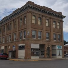
Masonic Temple
United States of America

Masonic Temple

61 km
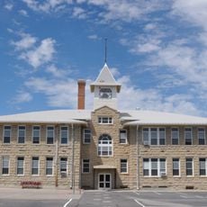
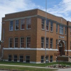
Roundup Central School
United States of America

Roundup Central School

36.8 km
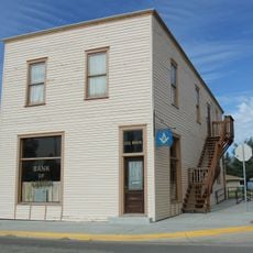
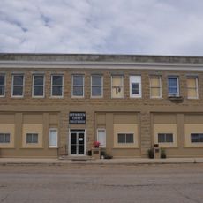
Lavina State Bank
United States of America

Lavina State Bank

50 km
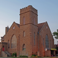
First Presbyterian Church
United States of America

First Presbyterian Church

61 km
St. Benedict's Catholic School
United States of America

St. Benedict's Catholic School

37 km
Lewistown Central Business Historic District
United States of America

Lewistown Central Business Historic District

61.2 km
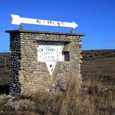
Cat Creek Oil Field Sign
United States of America

Cat Creek Oil Field Sign

66.8 km
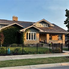
Abraham and Mary Walton Hogeland House
United States of America

Abraham and Mary Walton Hogeland House

61.4 km
Lewistown Courthouse Historic District
United States of America

Lewistown Courthouse Historic District

61.1 km
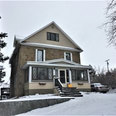
Anderson House
United States of America

Anderson House

61 km
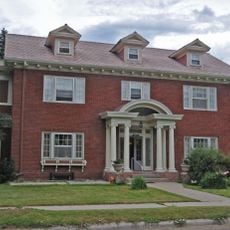
Lewistown Silk Stocking District
United States of America

Lewistown Silk Stocking District

61.1 km
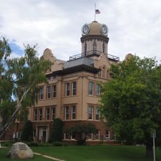
Huntoon Residence
United States of America

Huntoon Residence

60.5 km
United States of America

Wheatland County Fairgrounds/Rodeo Arena

86.8 km
United States of America

Billings Motorsports Park

84.7 km
United States of America

M7

86.5 km
United States of America

Charlie Russell Chew Choo

75.9 km
United States of America

Cowboy Sculpture

61.1 km
United States of America

Statue

86.6 km
United States of America

Scenic viewpoint

101.7 km
Show the full map
Reviews
Share your experience

No review yet

Discussions
Start a discussion...

No discussion yet

« Lake Mason National Wildlife Refuge - Wildlife refuge in Musselshell County, Montana » is provided by Around Us (aroundus.com). Images and texts are derived from Wikimedia project under a Creative Commons license. You are allowed to copy, distribute, and modify copies of this page, under the conditions set by the license, as long as this note is clearly visible.

Discover hidden gems everywhere you go!

From secret cafés to breathtaking viewpoints, skip the crowded tourist spots and find places that match your style. Our app makes it easy with voice search, smart filtering, route optimization, and insider tips from travelers worldwide. Download now for the complete mobile experience.

Around Us App Screenshot

A unique approach to discovering new places

Le Figaro

All the places worth exploring

France Info

A tailor-made excursion in just a few clicks

20 Minutes

Around Us
Travel Guide & Maps
Download

Send to your phone

QR Code
1

Open the camera app on your mobile.

2

Point at the QR code with your camera. A notification will appear.

3

Tap the notification to open the link.