Campbell County

Log in to your account

AroundUs is a community-driven map of interesting places, built by curious explorers like you. It grows with every review, story, and photo you share.
Connect to save your favorite spots, contribute locations, and create personalized routes.
Continue with Google
Continue with Apple
Continue with X
Continue with Facebook
Continue with email
By continuing, you accept our Terms and Conditions and our Privacy Policy
Create an account
Add to collection
Map
Suggest a change
Share

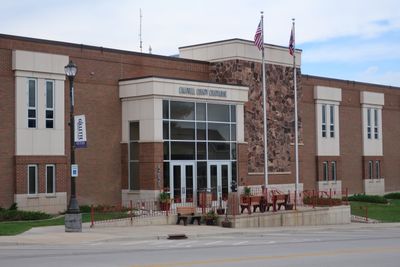
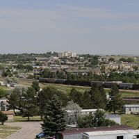
Campbell County, County seat in northeastern Wyoming, US.

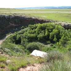
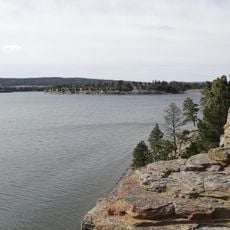
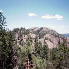
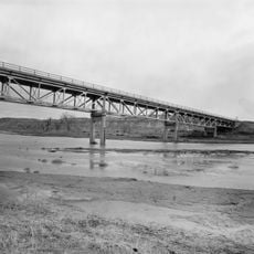
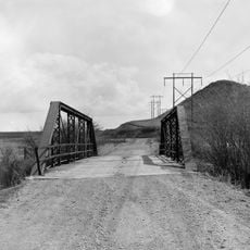
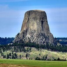
Campbell County is an administrative division in northeastern Wyoming spanning roughly 4,800 square miles (12,400 km2) that connects urban areas like Gillette with extensive grasslands. The terrain ranges between 3,400 and 6,060 feet (1,000 and 1,800 meters) in elevation, blending developed zones with open landscapes.

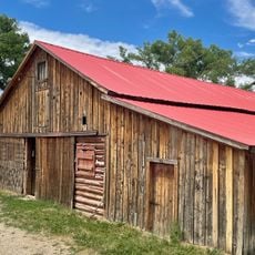
The territory was originally hunting grounds for the Sioux and Crow before transforming into ranchland in the 1880s as pioneers raised cattle and sheep. This shift established the economic foundation that would define the region for decades to come.

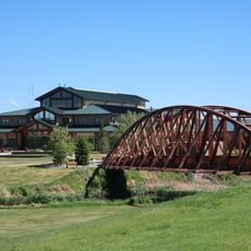
The CAM-PLEX facility in Gillette hosts Broadway productions, concerts, rodeos, and equestrian events year-round for residents. These gatherings reflect how the community values both performance arts and livestock traditions that shape local identity.

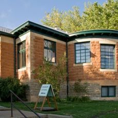
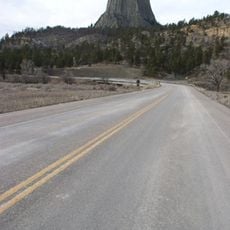
The county is easily accessible via Interstate 90 and U.S. Highway 14, making it straightforward to pass through or explore. Local libraries and community centers offer practical information and amenities to help visitors navigate the region.

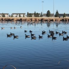
The county produces roughly one-third of the nation's coal through surface mining operations, making it crucial to the country's energy supply. At the same time, substantial populations of deer and antelope roam freely across the grasslands, creating an unexpected contrast with industrial activity.

Location: Wyoming

Inception: 1911

Capital city: Gillette

Shares border with: Sheridan County, Johnson County, Converse County, Weston County, Crook County, Powder River County

Website: https://ccgov.net

GPS coordinates: 44.24000,-105.55000

Latest update: December 7, 2025 19:22

Photos
Around this place
Fort Phil Kearny
United States of America

Fort Phil Kearny

106.6 km
Vore Buffalo Jump
United States of America

Vore Buffalo Jump

115.6 km
Keyhole State Park
United States of America

Keyhole State Park

62.7 km
Inyan Kara Mountain
United States of America

Inyan Kara Mountain

95.8 km
Jim Gatchell Memorial Museum
United States of America

Jim Gatchell Memorial Museum

92.4 km
TA Ranch Historic District
United States of America

TA Ranch Historic District

89.9 km
Wyoming Highway 110
United States of America

Wyoming Highway 110

76.9 km
Old Headquarters Area Historic District
United States of America

Old Headquarters Area Historic District

76.7 km
AJX Bridge over South Fork and Powder River
United States of America

AJX Bridge over South Fork and Powder River

107.4 km
Holland House
United States of America

Holland House

92.4 km
EDZ Irigary Bridge
United States of America

EDZ Irigary Bridge

58.7 km
Sundance State Bank Building
United States of America

Sundance State Bank Building

95 km
Union Congregational Church and Parsonage
United States of America

Union Congregational Church and Parsonage

92.1 km
Weston County Courthouse
United States of America

Weston County Courthouse

115.9 km
Main Street Historic District
United States of America

Main Street Historic District

92.2 km
CKW Bridge over Powder River
United States of America

CKW Bridge over Powder River

67.7 km
Entrance Station
United States of America

Entrance Station

77.9 km
EDL Peloux Bridge
United States of America

EDL Peloux Bridge

89 km
Sundance School
United States of America

Sundance School

95.2 km
Gillette City Hall
United States of America

Gillette City Hall

24.5 km
EAU Arvada Bridge
United States of America

EAU Arvada Bridge

65.6 km
Johnson County Courthouse
United States of America

Johnson County Courthouse

92.3 km
EBF Bridge over Powder River
United States of America

EBF Bridge over Powder River

82 km
Devils Tower Information Marker
United States of America

Devils Tower Information Marker

77.4 km
Dry Creek Petrified Tree Environmental Education Area
United States of America

Dry Creek Petrified Tree Environmental Education Area

79.1 km
Gillette Fishing Lake
United States of America

Gillette Fishing Lake

5.7 km
Dogie Theater
United States of America

Dogie Theater

115.9 km
Gillette College Pedestrian Bridge
United States of America

Gillette College Pedestrian Bridge

4.2 km
Show the full map
Reviews

Visited this place? Tap the stars to rate it and share your experience / photos with the community! Try now! You can cancel it anytime.

Administrative divisions
« Campbell County - County seat in northeastern Wyoming, US » is provided by Around Us (aroundus.com). Images and texts are derived from Wikimedia project under a Creative Commons license. You are allowed to copy, distribute, and modify copies of this page, under the conditions set by the license, as long as this note is clearly visible.

Discover hidden gems everywhere you go!

From secret cafés to breathtaking viewpoints, skip the crowded tourist spots and find places that match your style. Our app makes it easy with voice search, smart filtering, route optimization, and insider tips from travelers worldwide. Download now for the complete mobile experience.

Around Us App Screenshot

A unique approach to discovering new places

Le Figaro

All the places worth exploring

France Info

A tailor-made excursion in just a few clicks

20 Minutes