Chest opened
+${chestReward.xp} XP
Explorer
NOUVEAU ×${chestReward.collectible.quantity}
tapez pour fermer
Chest locked

Open chests in the app

Around Us is built for your phone — chests unlock when you walk, explore and capture nearby places.

Enable Location

We need your location to show you interesting places around you

Discover nearby places

Find interesting locations and hidden gems around you

Precise directions

Get accurate directions and distances to places

Your location is never shared with other users. It's only used when you tap the location button.

Lame Deer

Log in to your account

Start exploring — it's free

Trusted by 72,887 travelers worldwide

Continue with Google
Continue with Apple
or

We will send you a code to connect

By continuing, you accept our Terms and Conditions and our Privacy Policy

Check your inbox

We've sent a pincode in your inbox. Please enter the code below.

Discussion Reviews 1 Photos
13.6k Popularity

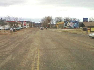
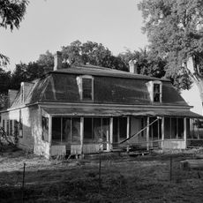
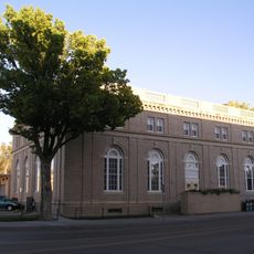
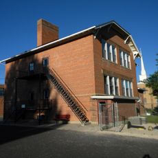
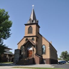
Lame Deer, Census-designated place in Rosebud County, Montana, United States.

Lame Deer is a settlement within the Northern Cheyenne Indian Reservation in Montana. The community hosts Chief Dull Knife College, medical facilities, and the Northern Cheyenne Arts and Crafts Center as key local institutions.

The settlement originated as a trading post in the 1870s and took its name from a Lakota leader. The area developed into the center of the Northern Cheyenne community and its role as a place of self-governance.

The Northern Cheyenne Powwow draws tribal members to celebrate traditional dances and ceremonies together. The Cheyenne language remains part of everyday life, connecting residents to their heritage.

The community is best accessed by following the main roads through the reservation with time for navigation. Visitors should be aware that some facilities have limited hours, so checking ahead is helpful.

The Lame Deer Morningstars are the local high school teams that compete in Montana's athletic league and represent the community. Their participation in regional competitions is an important local event for residents.

The community of curious travelers

AroundUs brings together thousands of curated places, local tips, and hidden gems, enriched daily by 60,000 contributors worldwide.

Start exploring
Location
Elevation above the sea
1,014 m
GPS coordinates
45.62167,-106.65806
Latest update
December 7, 2025 20:25
Around this place
Fort Keogh
United States of America

Fort Keogh

103.1 km
Rosebud Battlefield State Park
United States of America

Rosebud Battlefield State Park

51 km
Little Bighorn Battlefield National Monument
United States of America

Little Bighorn Battlefield National Monument

60.2 km
Sheridan Inn
United States of America

Sheridan Inn

93.7 km
Bighorn Lake
United States of America

Bighorn Lake

107.3 km
Tongue River Reservoir State Park
United States of America

Tongue River Reservoir State Park

59.1 km
Deer Medicine Rocks
United States of America

Deer Medicine Rocks

8.6 km
Wolf Mountains Battlefield
United States of America

Wolf Mountains Battlefield

37.6 km
Trail End
United States of America

Trail End

94.5 km
Main Street Historic District
United States of America

Main Street Historic District

107.4 km
Yucca Theatre
United States of America

Yucca Theatre

87 km
Bighorn Ditch Headgate
United States of America

Bighorn Ditch Headgate

106.5 km
Sheridan County Courthouse
United States of America

Sheridan County Courthouse

94.9 km
Miles City Waterworks Building and Pumping Plant Park
United States of America

Miles City Waterworks Building and Pumping Plant Park

106.6 km
ECR Kooi Bridge
United States of America

ECR Kooi Bridge

86.1 km
Miles City Main Post Office
United States of America

Miles City Main Post Office

107.6 km
ECS Bridge over Big Goose Creek
United States of America

ECS Bridge over Big Goose Creek

104.6 km
Holy Name Catholic School
United States of America

Holy Name Catholic School

94.8 km
St. Joseph's Catholic Church
United States of America

St. Joseph's Catholic Church

74.9 km
EBF Bridge over Powder River
United States of America

EBF Bridge over Powder River

94.9 km
Mount View
United States of America

Mount View

95.4 km
First Baptist Church
United States of America

First Baptist Church

74.9 km
Rosebud County Courthouse
United States of America

Rosebud County Courthouse

71.9 km
Susan Wissler House
United States of America

Susan Wissler House

95.7 km
St. Peter's Episcopal Church
United States of America

St. Peter's Episcopal Church

94.8 km
Robinson-Smith House
United States of America

Robinson-Smith House

95.3 km
John Boyum House
United States of America

John Boyum House

75.1 km
St. Philip's Episcopal Church
United States of America

St. Philip's Episcopal Church

74.8 km
Show the full map
Reviews
Share your experience

No review yet

Discussions
Start a discussion...

No discussion yet

« Lame Deer - Census-designated place in Rosebud County, Montana, United States » is provided by Around Us (aroundus.com). Images and texts are derived from Wikimedia project under a Creative Commons license. You are allowed to copy, distribute, and modify copies of this page, under the conditions set by the license, as long as this note is clearly visible.

Discover hidden gems everywhere you go!

From secret cafés to breathtaking viewpoints, skip the crowded tourist spots and find places that match your style. Our app makes it easy with voice search, smart filtering, route optimization, and insider tips from travelers worldwide. Download now for the complete mobile experience.

Around Us App Screenshot

A unique approach to discovering new places

Le Figaro

All the places worth exploring

France Info

A tailor-made excursion in just a few clicks

20 Minutes

Around Us
Travel Guide & Maps
Download

Send to your phone

QR Code
1

Open the camera app on your mobile.

2

Point at the QR code with your camera. A notification will appear.

3

Tap the notification to open the link.