Enable Location

We need your location to show you interesting places around you

Discover nearby places

Find interesting locations and hidden gems around you

Precise directions

Get accurate directions and distances to places

Your location is never shared with other users. It's only used when you tap the location button.

Liberty County

Log in to your account

Start exploring — it's free

Trusted by travelers worldwide

Continue with Google
Continue with Apple
or

We will send you a code to connect

By continuing, you accept our Terms and Conditions and our Privacy Policy

Check your inbox

We've sent a pincode in your inbox. Please enter the code below.

Liberty County, Administrative county in north-central Montana, United States.

Description

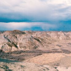
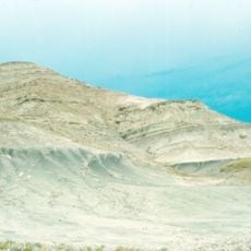
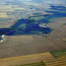
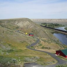
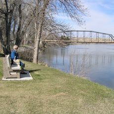
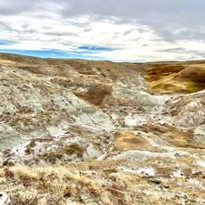
Liberty County is an administrative region in north-central Montana that stretches across agricultural land and grazing areas near the Canadian border. The landscape includes the Sweetgrass Hills in the north and rolling grain fields that define much of the terrain.

History

The area became a separate county in November 1920 following a local vote the previous year that divided territory from neighboring Hill and Chouteau counties. This separation reflected the expansion of agricultural settlement in the early 1900s.

Culture

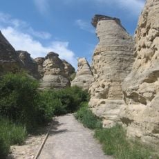
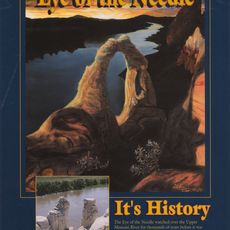
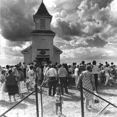
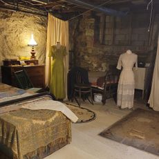
The northern hills hold deep spiritual importance for Native American tribes who have long connections to this land. Visitors can see how the landscape shapes the identity and traditions of the communities that inhabit the region.

Practical

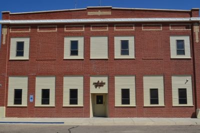
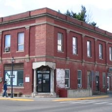
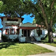
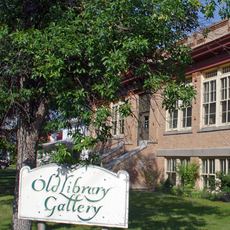
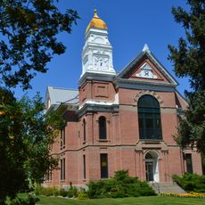
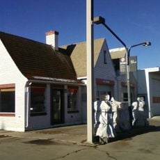
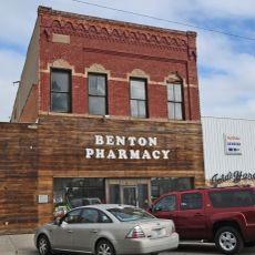
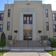
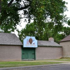
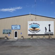
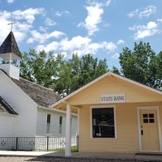
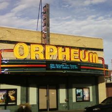
Chester, the main town, provides essential services including medical facilities, schools, and government offices for the region. Plan ahead when visiting as services are spread out across the agricultural landscape.

Did you know?

The economy depends almost entirely on farming, with individual farms sprawling across thousands of acres of grain and pasture land. This large-scale agricultural operation is what truly defines the region today.

Location
Inception
November 2, 1920
Capital city
Chester
Shares border with
Hill County, Chouteau County, Toole County, Pondera County
GPS coordinates
48.55000,-111.03000
Latest update
December 10, 2025 15:56

AroundUs brings together thousands of curated places, local tips, and hidden gems, enriched daily by 60,000 contributors worldwide. Discover all places nearby (Montana).

Around this place
Dinosaur Park Formation
Canada

Dinosaur Park Formation

85.8 km
Great Falls
United States of America

Great Falls

109.3 km
Writing-on-Stone Provincial Park
Canada

Writing-on-Stone Provincial Park

73.2 km
Two Medicine Formation
Canada

Two Medicine Formation

107.9 km
Great Falls
United States of America

Great Falls

109.5 km
Fort Assinniboine
United States of America

Fort Assinniboine

91.3 km
Benton Lake National Wildlife Refuge
United States of America

Benton Lake National Wildlife Refuge

101.1 km
Eye of the Needle
United States of America

Eye of the Needle

101 km
Too Close For Comfort Site
United States of America

Too Close For Comfort Site

96.9 km
Fort Benton Historic District
United States of America

Fort Benton Historic District

85.6 km
Devil's Coulee Dinosaur Heritage Museum
Canada

Devil's Coulee Dinosaur Heritage Museum

118.4 km
Bethany Lutheran Church
United States of America

Bethany Lutheran Church

48 km
Fort Benton Bridge
United States of America

Fort Benton Bridge

86.1 km
Havre Residential Historic District
United States of America

Havre Residential Historic District

99.7 km
H. Earl Clack House
United States of America

H. Earl Clack House

99.5 km
First State Bank of Chester
United States of America

First State Bank of Chester

6.3 km
Young–Almas House
United States of America

Young–Almas House

99.8 km
Carnegie Public Library
United States of America

Carnegie Public Library

99.7 km
Chouteau County Courthouse
United States of America

Chouteau County Courthouse

85.9 km
Rainbow Conoco
United States of America

Rainbow Conoco

61.3 km
Masonic Building
United States of America

Masonic Building

86 km
Glacier County Courthouse
United States of America

Glacier County Courthouse

95.9 km
Fort Benton Engine House
United States of America

Fort Benton Engine House

86.1 km
Havre Beneath the Streets
United States of America

Havre Beneath the Streets

99.6 km
Old Fort Benton
United States of America

Old Fort Benton

85.6 km
The Montana Dinosaur Center
United States of America

The Montana Dinosaur Center

114.5 km
Montana Agricultural Center
United States of America

Montana Agricultural Center

85.1 km
Orpheum Theatre
United States of America

Orpheum Theatre

79.9 km
Show the full map
Administrative divisions
« Liberty County - Administrative county in north-central Montana, United States » is provided by Around Us (aroundus.com). Images and texts are derived from Wikimedia project under a Creative Commons license. You are allowed to copy, distribute, and modify copies of this page, under the conditions set by the license, as long as this note is clearly visible.

Discover hidden gems everywhere you go!

From secret cafés to breathtaking viewpoints, skip the crowded tourist spots and find places that match your style. Our app makes it easy with voice search, smart filtering, route optimization, and insider tips from travelers worldwide. Download now for the complete mobile experience.

Around Us App Screenshot

A unique approach to discovering new places

Le Figaro

All the places worth exploring

France Info

A tailor-made excursion in just a few clicks

20 Minutes

Around Us
Travel Guide & Maps
Download

Send to your phone

QR Code
1

Open the camera app on your mobile.

2

Point at the QR code with your camera. A notification will appear.

3

Tap the notification to open the link.