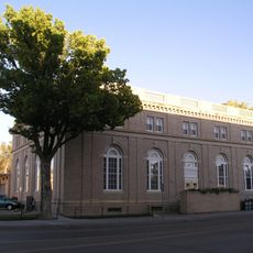
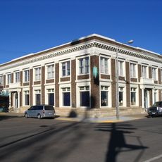
Garfield County, County in central Montana, United States.
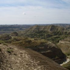
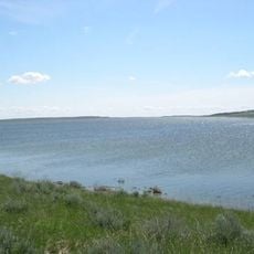
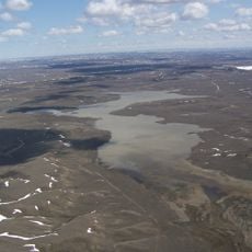
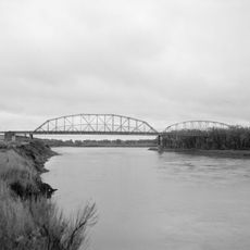
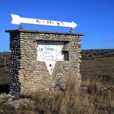
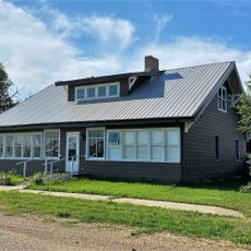
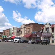
Garfield County is an administrative division in central Montana characterized by grasslands cut through by the Missouri River and Big Dry Creek waterways. The landscape consists of open prairies with scattered communities, where Jordan functions as the county seat.
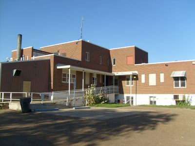
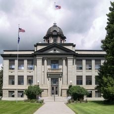
The county was established in 1919 when local residents separated from Dawson County and selected Jordan as the county seat through a public vote. This formation created a new administrative center for the growing population of the region.
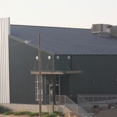
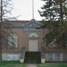
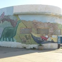
The county's identity is closely tied to its dinosaur heritage, with the Garfield County Museum displaying T-rex fossils that draw visitors interested in prehistoric life. Local communities have built their sense of place around these remarkable discoveries from the distant past.
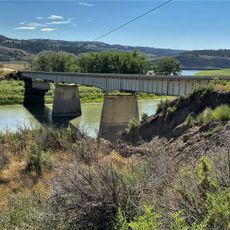
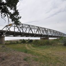
Montana Highways 22, 59, 24, and 200 connect the county's scattered communities. Visitors should plan for long distances between towns, as this is a remote and sparsely populated area.
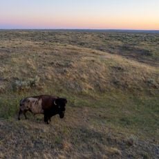
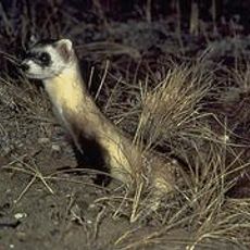
The Charles M. Russell National Wildlife Refuge extends into the county, protecting habitats for native Montana wildlife species. This refuge makes the area significant for observing animals and their natural surroundings.
Location: Montana
Inception: 1919
Capital city: Jordan
Shares border with: Valley County, Rosebud County, McCone County, Custer County, Phillips County, Petroleum County, Prairie County
Website: http://garfieldcounty.com
GPS coordinates: 47.28000,-106.99000
Latest update: December 7, 2025 19:26
American Prairie Reserve
84.8 km
Fort Peck Lake
60.5 km
Charles M. Russell National Wildlife Refuge
47.2 km
Montana Cowboy Hall of Fame
135.5 km
Hell Creek Recreational Area
38.1 km
Fred Robinson Bridge
133.4 km
UL Bend National Wildlife Refuge
78.4 km
War Horse National Wildlife Refuge
122 km
Hewitt Lake National Wildlife Refuge
147.3 km
Great Plains Dinosaur Museum and Field Station
137 km
Lewis and Clark Bridge
139.9 km
Yucca Theatre
111.5 km
Miles City Waterworks Building and Pumping Plant Park
129.5 km
H. Earl Clack Service Station
133.6 km
Powder River Bridge
133 km
Miles City Main Post Office
130.3 km
Ursuline Convent of the Sacred Heart
130.3 km
First National Bank of Glasgow
105.2 km
Phillips County Carnegie Library
137.2 km
William Harmon House
130.2 km
Cat Creek Oil Field Sign
82.9 km
Rosebud County Courthouse
115.2 km
Fort Peck Original Houses Historic District
91 km
St. Philip's Episcopal Church
119.4 km
Charles C. Sargent House
106.1 km
Forsyth Main Street Historic District
115.4 km
Fort Peck Interpretive Center
91.8 km
Park Theatre
130.3 kmVisited this place? Tap the stars to rate it and share your experience / photos with the community! Try now! You can cancel it anytime.
Discover hidden gems everywhere you go!
From secret cafés to breathtaking viewpoints, skip the crowded tourist spots and find places that match your style. Our app makes it easy with voice search, smart filtering, route optimization, and insider tips from travelers worldwide. Download now for the complete mobile experience.
A unique approach to discovering new places❞
— Le Figaro
All the places worth exploring❞
— France Info
A tailor-made excursion in just a few clicks❞
— 20 Minutes