Enable Location

We need your location to show you interesting places around you

Discover nearby places

Find interesting locations and hidden gems around you

Precise directions

Get accurate directions and distances to places

Your location is never shared with other users. It's only used when you tap the location button.

Roosevelt County

Log in to your account

Start exploring — it's free

Trusted by 61,509 travelers worldwide

Continue with Google
Continue with Apple
or

We will send you a code to connect

By continuing, you accept our Terms and Conditions and our Privacy Policy

Check your inbox

We've sent a pincode in your inbox. Please enter the code below.

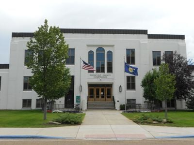
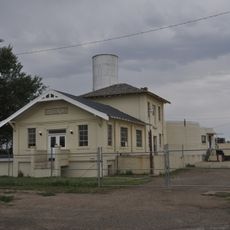
Roosevelt County, County seat in northeastern Montana, US

Description

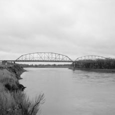
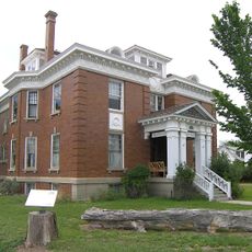
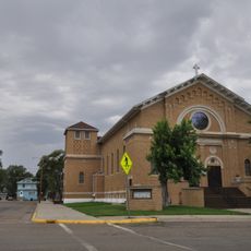
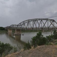
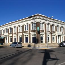
Roosevelt County is an administrative division in northeastern Montana with Wolf Point serving as the county seat. The region stretches across prairie and grassland near the Missouri River and includes portions of the Fort Peck Indian Reservation.

History

The county was established in 1919 as a Montana administrative division. Wolf Point grew from a fur trading post founded in the 1860s at the confluence of Wolf Creek and the Missouri River, becoming the region's main settlement.

Culture

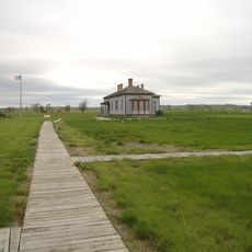
The Fort Peck Indian Reservation occupies much of the county, and the Assiniboine and Sioux nations maintain their cultural practices through powwows, tribal events, and community gatherings that happen throughout the year.

Practical

Allow time to explore the wide-open landscape and prepare for significant temperature swings between seasons. Road conditions are generally manageable, though winter weather can affect travel around the region.

Did you know?

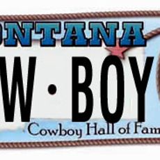
Wolf Point hosts the Wild Horse Stampede, one of Montana's oldest rodeos, held each July with parades, horse races, and competitions. The event draws visitors and participants from across the region who celebrate the area's ranching heritage.

Location
Inception
1919
Capital city
Wolf Point
Shares border with
Sheridan County, Richland County, Valley County, McCone County, Daniels County, Williams County, McKenzie County
GPS coordinates
48.30000,-105.03000
Latest update
December 7, 2025 20:45

AroundUs brings together thousands of curated places, local tips, and hidden gems, enriched daily by 60,000 contributors worldwide. Discover all places nearby (Montana).

Around this place
Fort Buford
United States of America

Fort Buford

84 km
Montana Cowboy Hall of Fame
United States of America

Montana Cowboy Hall of Fame

51 km
Snowden Bridge
United States of America

Snowden Bridge

77 km
Missouri-Yellowstone Confluence Interpretive Center
United States of America

Missouri-Yellowstone Confluence Interpretive Center

84.9 km
Fairview Lift Bridge
United States of America

Fairview Lift Bridge

89.3 km
Ambrose–Torquay Border Crossing
Canada

Ambrose–Torquay Border Crossing

137.6 km
Lewis and Clark Bridge
United States of America

Lewis and Clark Bridge

45.6 km
Alkabo School
United States of America

Alkabo School

105.2 km
Rocky Valley Lutheran Church
United States of America

Rocky Valley Lutheran Church

80.2 km
Merrill Avenue Historic District
United States of America

Merrill Avenue Historic District

135.1 km
Daniels County Courthouse
United States of America

Daniels County Courthouse

61.7 km
Charles Krug House
United States of America

Charles Krug House

135 km
Sacred Heart Church
United States of America

Sacred Heart Church

134.8 km
James Memorial Library
United States of America

James Memorial Library

105.6 km
Peoples' Congregational Church
United States of America

Peoples' Congregational Church

91.9 km
Bell Street Bridge
United States of America

Bell Street Bridge

135 km
First National Bank of Glasgow
United States of America

First National Bank of Glasgow

119.6 km
Old U.S. Post Office
United States of America

Old U.S. Post Office

105.6 km
Glendive City Water Filtration Plant
United States of America

Glendive City Water Filtration Plant

135 km
Ray Opera House
United States of America

Ray Opera House

138 km
Northern Pacific Railroad Settling Tanks
United States of America

Northern Pacific Railroad Settling Tanks

134.9 km
Fort Peck Original Houses Historic District
United States of America

Fort Peck Original Houses Historic District

110 km
Glendive Dinosaur & Fossil Museum
United States of America

Glendive Dinosaur & Fossil Museum

133.2 km
Charles C. Sargent House
United States of America

Charles C. Sargent House

100 km
Blackstock Residence
United States of America

Blackstock Residence

135 km
Fort Union Trading Post National Historic Site
United States of America

Fort Union Trading Post National Historic Site

80.8 km
Fort Buford State Historic Site
United States of America

Fort Buford State Historic Site

84 km
Fort Peck Interpretive Center
United States of America

Fort Peck Interpretive Center

108.2 km
Show the full map
Administrative divisions
« Roosevelt County - County seat in northeastern Montana, US » is provided by Around Us (aroundus.com). Images and texts are derived from Wikimedia project under a Creative Commons license. You are allowed to copy, distribute, and modify copies of this page, under the conditions set by the license, as long as this note is clearly visible.

Discover hidden gems everywhere you go!

From secret cafés to breathtaking viewpoints, skip the crowded tourist spots and find places that match your style. Our app makes it easy with voice search, smart filtering, route optimization, and insider tips from travelers worldwide. Download now for the complete mobile experience.

Around Us App Screenshot

A unique approach to discovering new places

Le Figaro

All the places worth exploring

France Info

A tailor-made excursion in just a few clicks

20 Minutes

Around Us
Travel Guide & Maps
Download

Send to your phone

QR Code
1

Open the camera app on your mobile.

2

Point at the QR code with your camera. A notification will appear.

3

Tap the notification to open the link.