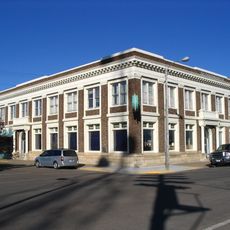
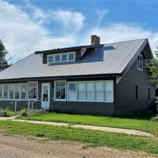
Wolf Point, town in Montana, United States
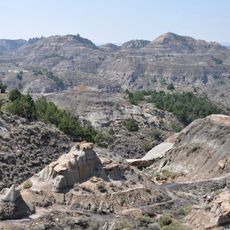
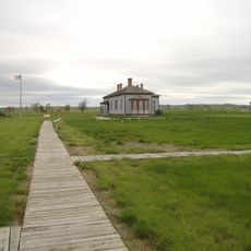
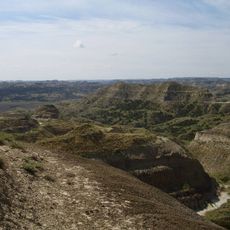
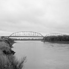
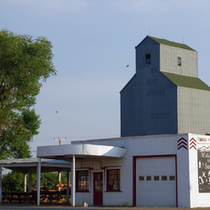
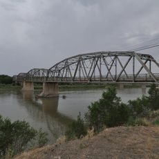
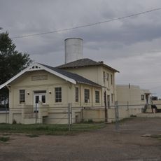
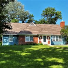
Wolf Point is a small town in Roosevelt County in northeastern Montana. It sits in a flat region near the Missouri River and functions as a local administrative and commercial center for surrounding ranches and farming areas.
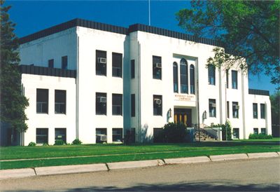
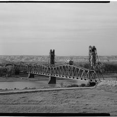
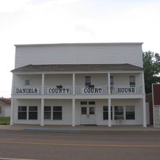
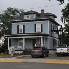
Wolf Point was founded in the 1880s and named after Wolf, a notable chief of the Fort Peck Reservation. The town developed as a trading post along the Missouri River and became the county seat of Roosevelt County.
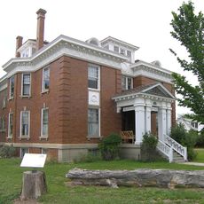
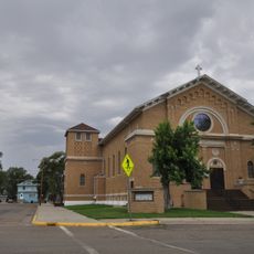
The town is easily accessible by car and has basic services like shops, restaurants, and accommodations. The best time to visit is summer when roads are in good condition and local events take place.
The community of curious travelers
AroundUs brings together thousands of curated places, local tips, and hidden gems, enriched daily by 60,000 contributors worldwide.