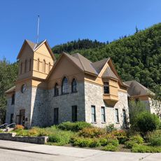
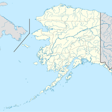
Chilkoot Trail, National historic trail in Stikine Region, Canada
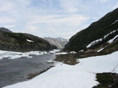
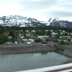
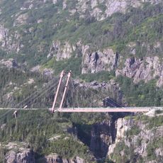
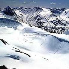
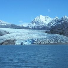
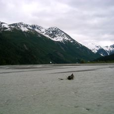
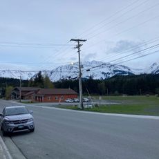
The Chilkoot Trail is a historic mountain path stretching roughly 33 miles (53 kilometers) from Dyea in Alaska through the Coast Mountains to Bennett in British Columbia. The route moves through dense forest at the lower elevations, then climbs through alpine meadows and rocky passes before ending at a quiet mountain lake on the Canadian side.
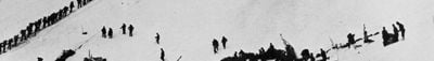
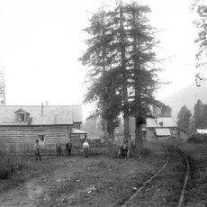
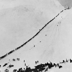
Tlingit traders used this route for centuries to carry fish and furs from the coast to inland communities long before Europeans arrived in the region. Starting in 1897, thousands of gold seekers pushed over the same path toward the Klondike fields, turning a trade route into a crowded supply line within months.
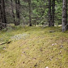
The path preserves the names given by Tlingit traders to landmarks along the route before gold seekers came to know every inch of this trail with their stacks of gear. Hikers today walk over the same steep slopes where porters once hauled sacks of flour, shovels, and tinned goods, with many abandoned tools and items still resting in the moss between the rocks.
Hikers must obtain a permit from Parks Canada that limits the number of daily visitors to protect the path and prevent overcrowding. Nine named campgrounds provide designated rest points along the route, and hikers should bring weatherproof gear and proper clothing for changing conditions from rain to snow.
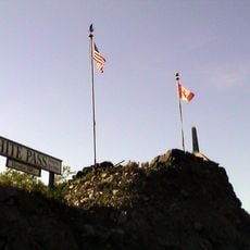
The path crosses the international border between the United States and Canada on a mountain pass, requiring hikers to carry identification papers even though no official border buildings or customs officers stand at this remote elevation. Most hikers experience the border crossing as a simple step over a line between two wooden posts standing in the wilderness.
The community of curious travelers
AroundUs brings together thousands of curated places, local tips, and hidden gems, enriched daily by 60,000 contributors worldwide.