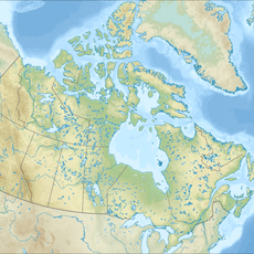
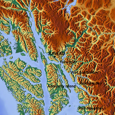
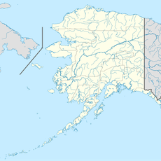
Stikine Region, Regional district in northwestern British Columbia, Canada.
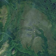
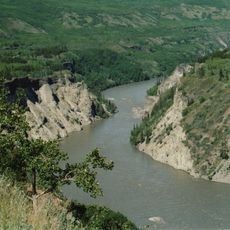
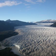
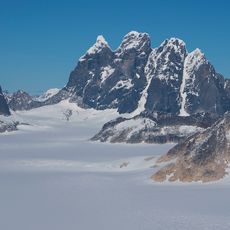
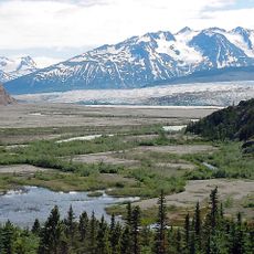
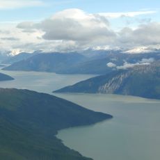
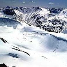
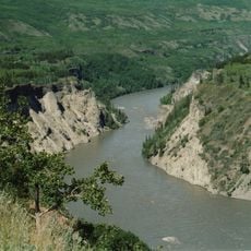
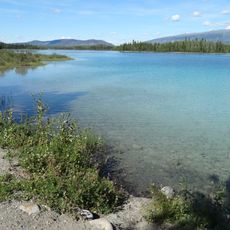
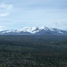
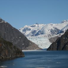
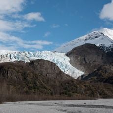
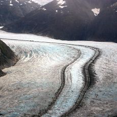
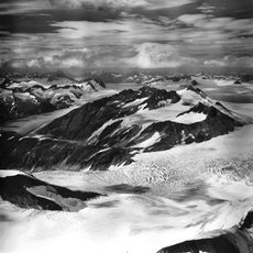
The Stikine Region is a large unincorporated area in northwestern British Columbia dominated by mountains and dense forests. Several major rivers flow through valleys, shaping both the landscape and how people move through the territory.
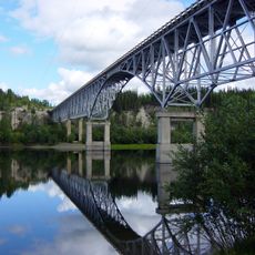
During the 1800s, the Stikine River became a vital trade and travel route as gold seekers pushed into the interior. This activity connected remote inland communities to coastal ports and left marks of a dynamic period in local history.
This region is the ancestral home of the Tahltan and Kaska Dena peoples, whose communities continue to live here today. Their deep ties to the land shape how the place feels and how people relate to its forests and rivers.
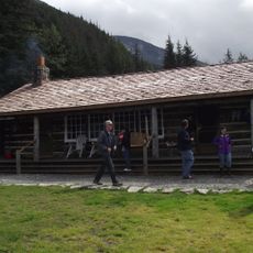
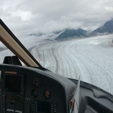
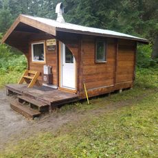
The territory has sparse settlement and limited services, so visitors should plan carefully before arriving. Small aircraft and riverboats are the main ways to reach the area, as road access is minimal.
The area holds a distinctive position as British Columbia's only unincorporated territory that sits outside the standard regional district system. It operates under direct provincial government oversight instead of following the typical municipal structure.
Location: British Columbia
Shares border with: Juneau, Regional District of Kitimat-Stikine, Northern Rockies Regional Municipality, Peace River Regional District, Regional District of Bulkley-Nechako, Yakutat City and Borough, Hoonah–Angoon Census Area, Skagway Municipality, Haines Borough
GPS coordinates: 59.46667,-130.87861
Latest update: December 10, 2025 15:56
Tracy Arm
226.4 km
Level Mountain
120 km
Juneau Icefield
228.7 km
Tagish Lake
189.1 km
Grand Canyon of the Stikine
154.3 km
Sign Post Forest
138.3 km
Taku Glacier
212.5 km
Devils Paw
188.1 km
Llewellyn Glacier
187.4 km
Taku Inlet
220.3 kmTencho Glacier
202.7 km
Atlin/A Téix'gi Aan Tlein Provincial Park
162.9 km
Stikine River Provincial Park
202.3 kmTodagin South Slope Provincial Park
213.4 km
Tā Ch’ilā Provincial Park
102.1 km
Isspah Butte
53.9 km
Mount Edziza Provincial Park and Recreation Area
210 km
Port Snettisham
233.2 km
Twin Glacier Camp
206.5 km
Cariboo Crossing Trading Post
228.7 km
South Sawyer Glacier
228.4 km
Herbert Glacier
229.2 km
Meade Glacier
222 km
Eagle Glacier
235.5 km
Upper Basin
234.5 km
Antler Glacier
225 km
Turner Lake East Cabin
207.1 km
Alaska Highway Bridge
176.3 kmVisited this place? Tap the stars to rate it and share your experience / photos with the community! Try now! You can cancel it anytime.
Discover hidden gems everywhere you go!
From secret cafés to breathtaking viewpoints, skip the crowded tourist spots and find places that match your style. Our app makes it easy with voice search, smart filtering, route optimization, and insider tips from travelers worldwide. Download now for the complete mobile experience.
A unique approach to discovering new places❞
— Le Figaro
All the places worth exploring❞
— France Info
A tailor-made excursion in just a few clicks❞
— 20 Minutes