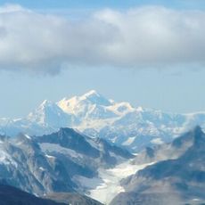
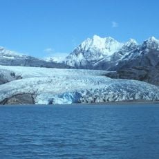
Muir Glacier, Valley glacier in Glacier Bay National Park, Alaska
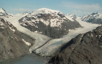
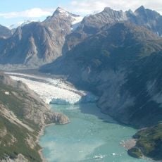
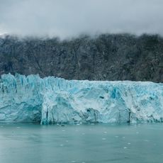
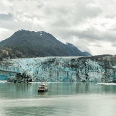
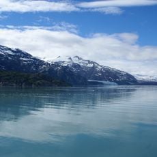
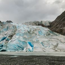
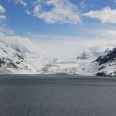
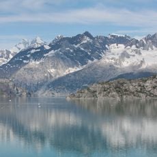
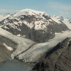
Muir Glacier is a valley glacier in Glacier Bay National Park, Alaska, with a terminus width of approximately 0.7 kilometers (0.4 miles) located in the eastern section of the park. The ice mass flows down through a glacial valley and meets a wide basin where visitors can observe its blue-white face from the water.
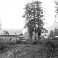
Captain George Vancouver first recorded the glacier in 1794 when the entire Glacier Bay was covered by an extensive ice sheet. The glacier later took the name of naturalist John Muir, who visited and studied it in detail during an 1879 expedition.
Scottish naturalist John Muir studied this glacier in 1879, leading to detailed documentation in his book Travels in Alaska published in 1915.
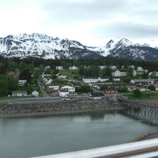
You can reach the glacier by boat tours that depart from Juneau and travel north through Glacier Bay. The best time to visit is between May and September when waters are navigable and boat tours run regularly.
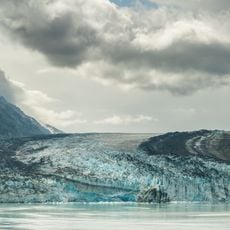
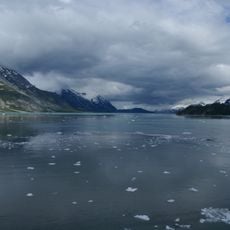
Between 1941 and 2004, the glacier retreated more than 12 kilometers and lost over 800 meters in thickness. This rapid transformation offers visible evidence of how climate change is reshaping Alaskan ice fields.
The community of curious travelers
AroundUs brings together thousands of curated places, local tips, and hidden gems, enriched daily by 60,000 contributors worldwide.