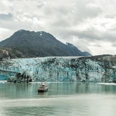
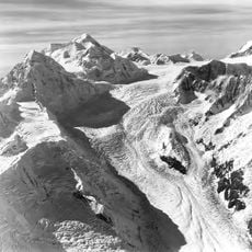
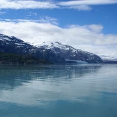
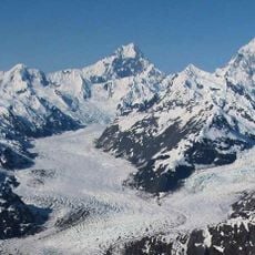
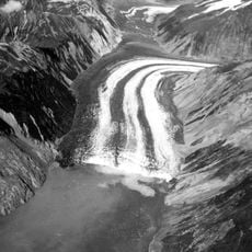
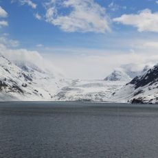
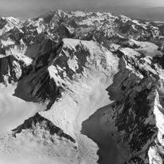
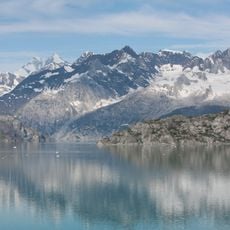
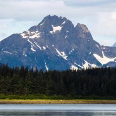
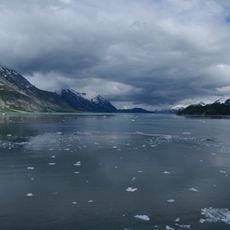
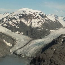
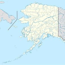
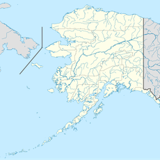
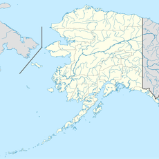
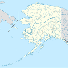
Lamplugh Glacier, Tidewater glacier in Glacier Bay National Park, Alaska, US.
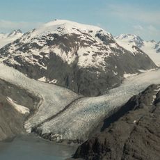
Lamplugh Glacier is an 8-mile-long (13 km) glacier in Glacier Bay National Park and Preserve, Alaska, flowing north to its 1961 terminus in Johns Hopkins Inlet, 1.4 miles west of Ptarmigan Creek and 76 miles northwest of Hoonah. The glacier descends from surrounding mountains, its surface marked by a 9-kilometer debris field from a 2016 landslide.
Lamplugh Glacier was named around 1912 by Lawrence Martin of the U.S. Geological Survey for English geologist George William Lamplugh (1859–1926), who visited Glacier Bay in 1884. The name honors Lamplugh's geological work in the region.
The glacier carries the name of English geologist George William Lamplugh, who visited Glacier Bay in 1884; Lawrence Martin of the U.S. Geological Survey named it around 1912. Its 1961 terminus sits in Johns Hopkins Inlet, 1.4 miles west of Ptarmigan Creek and 76 miles northwest of Hoonah, a fixed reference point for later comparisons.
The best way to experience this glacier is by boat tour from Juneau, with many cruise ships including Glacier Bay in their routes. Wear layers and warm clothing, as weather changes quickly and temperatures stay cool even on sunny days.
On 28 June 2016 a 1,200-metre mountainside collapsed onto Lamplugh Glacier, dropping 120 million tonnes of rock and debris and leaving a debris field 9 kilometres long on the ice. The landslide volume was estimated at 62 to 79.8 million cubic metres.
The community of curious travelers
AroundUs brings together thousands of curated places, local tips, and hidden gems, enriched daily by 93,684 contributors worldwide.