Mount Fairweather, Peak at Alaska-British Columbia border, United States and Canada
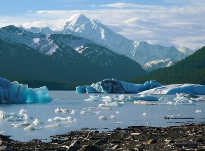
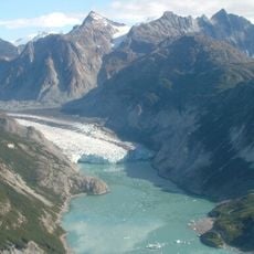
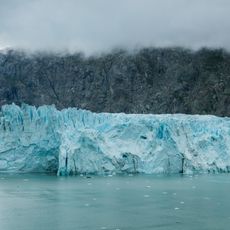
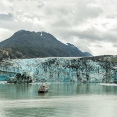
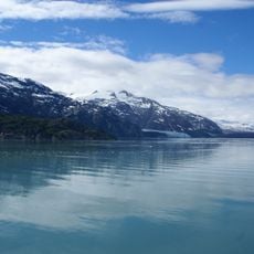
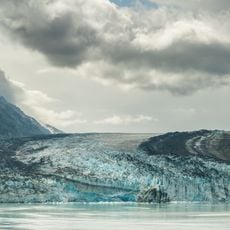
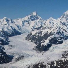
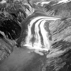
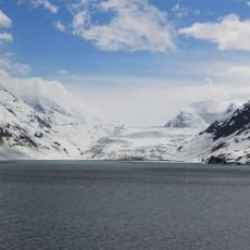
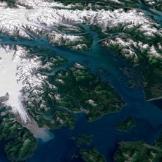
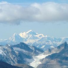
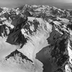
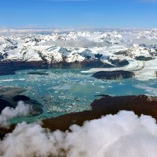
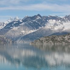
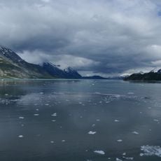
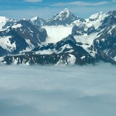
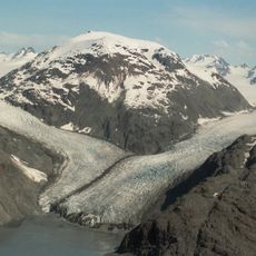
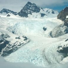
Mount Fairweather is a peak that straddles the Alaska-British Columbia border, rising 4,653 meters above sea level. Snow-covered slopes and glacier fields dominate its terrain, making it a prominent landmark within Glacier Bay National Park and Preserve.
Captain James Cook named this peak in 1778 during his exploration of the Pacific, occurring when he encountered rare clear conditions at the summit. The name marks a moment during the era of European mapping of the North American coast.
The Tlingit people know this peak as Tsalxaan, weaving it into stories passed down through generations about the land. This name reflects how deeply the mountain is rooted in the region's ways of understanding nature.
The safest period for expeditions runs from April through June when weather allows travel across snow and glacier terrain. Planning and experience with high-altitude mountaineering in harsh conditions are essential for anyone attempting the ascent.
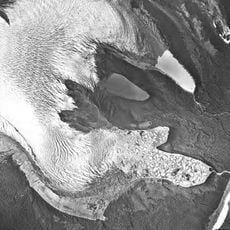
This peak receives over 2,540 millimeters of yearly precipitation, creating one of the deepest snowpacks anywhere on Earth. The extreme snow accumulation shapes the glacier landscape and makes the region stand out for its harsh weather patterns.
The community of curious travelers
AroundUs brings together thousands of curated places, local tips, and hidden gems, enriched daily by 60,000 contributors worldwide.