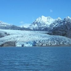
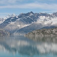
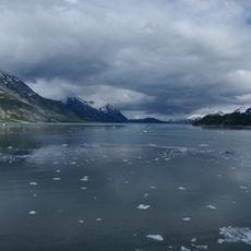
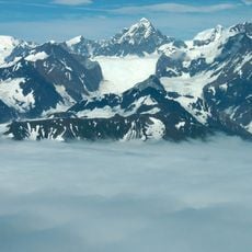
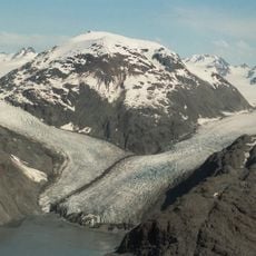
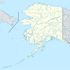
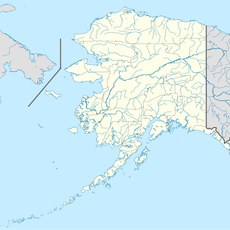
Grand Pacific Glacier, Tidewater glacier in Glacier Bay National Park, Alaska, United States, and British Columbia, Canada
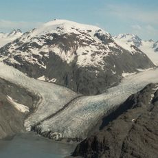
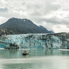
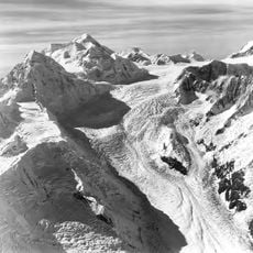
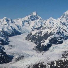
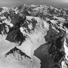
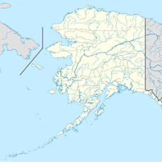
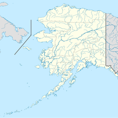
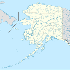
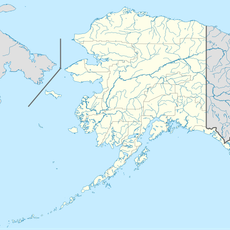
Grand Pacific Glacier begins in the Fairweather Range of the Saint Elias Mountains north of Mount Watson in Alaska, runs north parallel to the border, then turns east into British Columbia and south through Grand Pacific Pass to the head of Tarr Inlet, about 1 km northeast of Margerie Glacier. Its last 1.5 km lie in Alaska. The western two thirds of the ice face come from Ferris Glacier, which joins from the west 3 km above the terminus.
John Muir named the glacier in 1879. By 1892 it had retreated so far that H. F. Reid of the United States Geological Survey split the ice into three glaciers, keeping Grand Pacific for the northernmost and largest; the middle became Johns Hopkins Glacier and the smallest was named Reid Glacier by the Harriman Alaska Expedition in 1899. Grand Pacific and Margerie Glacier shared one ice front in 1992, then separated as Grand Pacific receded.
The glacier's name comes from John Muir, who named it in 1879. In 1892 H. F. Reid of the United States Geological Survey split the ice into three glaciers, keeping Grand Pacific for the northernmost and largest; the Harriman Alaska Expedition named the smallest Reid Glacier in 1899.
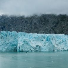
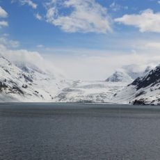
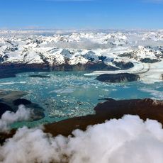
Visitors reach the glacier by boat from Glacier Bay, where it is common to witness chunks of ice breaking away and falling into the water. The best time to visit is during warmer months when visibility is clear and water passages are most accessible.
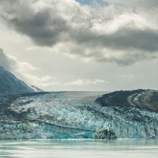
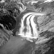
The western portion of this glacier is blanketed in a thick layer of rock debris that insulates the ice beneath, slowing its melt significantly. This protective rock layer keeps that side thicker and more stable compared to the cleaner eastern section, which melts more rapidly.
The community of curious travelers
AroundUs brings together thousands of curated places, local tips, and hidden gems, enriched daily by 94,226 contributors worldwide.