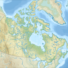
Vanderhoof, District municipality in central British Columbia, Canada.
Vanderhoof is a district municipality in central British Columbia situated at roughly 640 meters elevation with a compact town center and extended surrounding areas. The municipality includes elementary schools, a secondary school, and a college campus that serve residents across different educational levels.
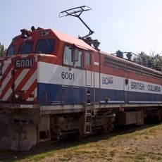
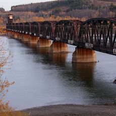
The settlement was established in 1926 by the Grand Trunk Pacific Development Company and named after Herbert Vanderhoof, who worked with the railway initiative. This rail connection shaped the town's early growth and established it as a regional center.
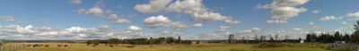
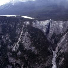
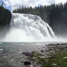
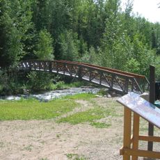
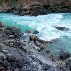
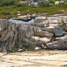
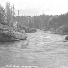
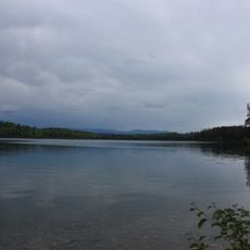
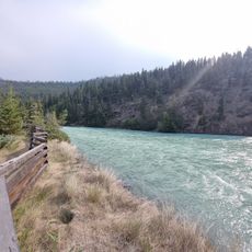
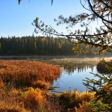
The Nechako River bird sanctuary provides natural habitats where migratory birds arrive with the seasons, and local efforts focus on protecting the Nechako white sturgeon population. This conservation work is woven into how residents think about their connection to the river and the lands around them.
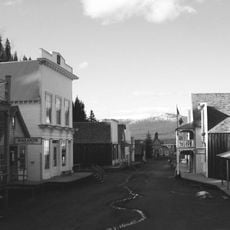
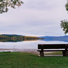
The town is compact enough to explore on foot, with most places accessible from the central area without difficulty. Getting around the broader region benefits from having transportation to visit the surrounding nature reserves and countryside.
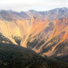
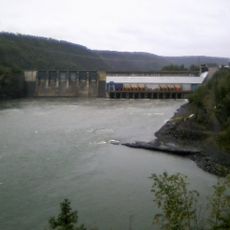
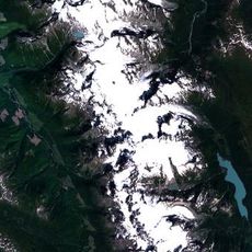
The central location within British Columbia makes the town a natural hub where forestry, agriculture, and mining operations connect and converge. This strategic position has allowed it to become the main distribution point for goods and services serving the wider region.
The community of curious travelers
AroundUs brings together thousands of curated places, local tips, and hidden gems, enriched daily by 60,000 contributors worldwide.