
T'ä̀w Tà'ä̀r, public space and river mouth in Yukon, Canada
Location: Unorganized Yukon
GPS coordinates: 61.24278,-134.61389
Latest update: April 26, 2025 01:40
Chilkoot Trail
175.5 km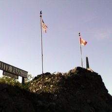
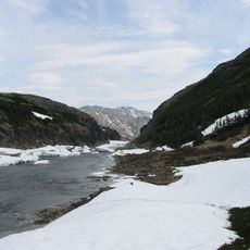
White Pass
182.4 km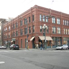
Klondike Gold Rush National Historical Park
202.5 km
Tagish Lake
172.7 km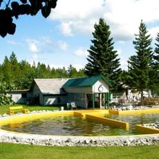
Takhini Hot Springs
57 km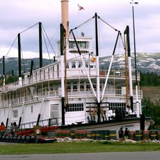
SS Klondike
63.4 km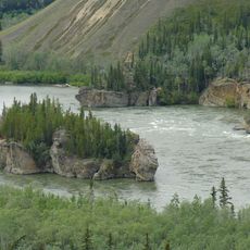
Five Finger Rapids
146.4 km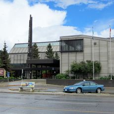
Yukon Legislative Building
63.1 km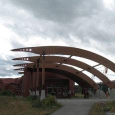
Yukon Beringia Interpretive Centre
64.5 km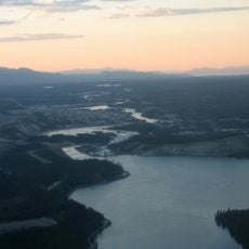
Schwatka Lake
66 km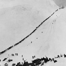
Chilkoot Trail and Dyea Site
182.9 km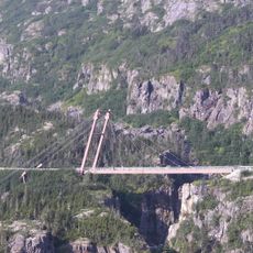
Captain William Moore Bridge
187.3 km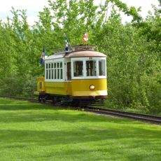
Whitehorse trolley
62.6 km
Ibex Valley
70.8 km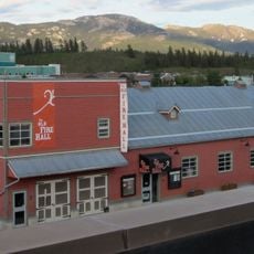
Yukon Arts Centre
60.7 km
Taiya River
187.3 km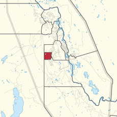
Whitehorse West
65.3 km
Skagway Historic District and White Pass
194.7 km
MacBride Museum of Yukon History
62.7 km
Atlin/A Téix'gi Aan Tlein Provincial Park
197.2 km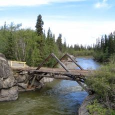
Aishihik River
133.9 km
Cariboo Crossing Trading Post
116.8 km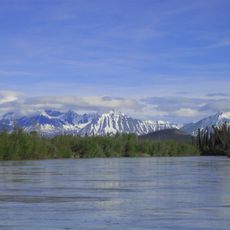
Dezadeash River
134.6 km
Old Log Church Museum
63 km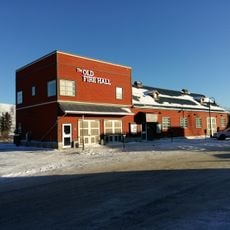
The Old Fire Hall
62.8 km
Laughton Glacier
195.2 km
Chilkoot Trailhead
196.9 km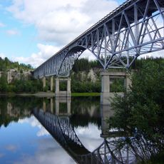
Alaska Highway Bridge
110.3 kmReviews
Visited this place? Tap the stars to rate it and share your experience / photos with the community! Try now! You can cancel it anytime.
Discover hidden gems everywhere you go!
From secret cafés to breathtaking viewpoints, skip the crowded tourist spots and find places that match your style. Our app makes it easy with voice search, smart filtering, route optimization, and insider tips from travelers worldwide. Download now for the complete mobile experience.

A unique approach to discovering new places❞
— Le Figaro
All the places worth exploring❞
— France Info
A tailor-made excursion in just a few clicks❞
— 20 Minutes