
Wabamun 133B, Indian reserve in Alberta, Canada
Location: Alberta
Shares border with: Parkland County
GPS coordinates: 53.55000,-114.43300
Latest update: March 6, 2025 21:02
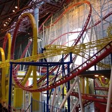
Mindbender
53.9 km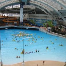
World Waterpark
53.5 km
Galaxyland
53.8 km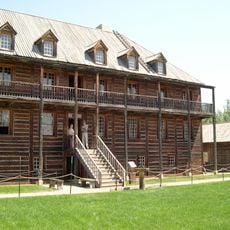
Fort Edmonton Park
56.6 km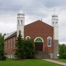
Al-Rashid Mosque
57.6 km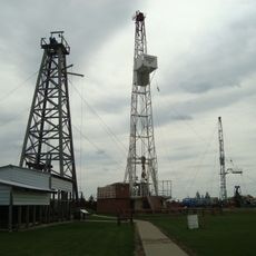
Leduc No. 1
52.8 km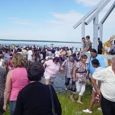
Lac Ste. Anne
14.6 km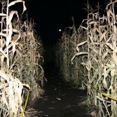
Edmonton Corn Maze
47.6 km
Telus World of Science
57.5 km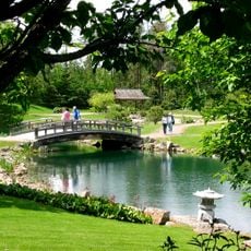
University of Alberta Botanic Garden
47.3 km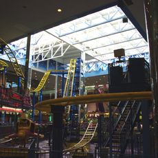
Galaxy Orbiter
53.8 km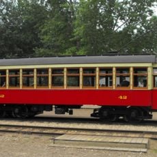
Edmonton Radial Railway Society
57 km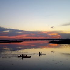
Lois Hole Centennial Provincial Park
48.6 km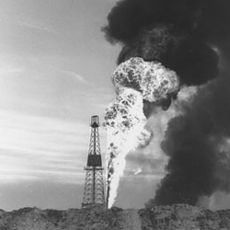
Leduc Formation
54 km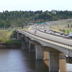
Quesnell Bridge
57.5 km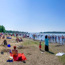
Wabamun Lake Provincial Park
1.4 km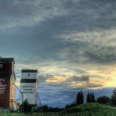
St. Albert Grain Elevator Park
53.1 km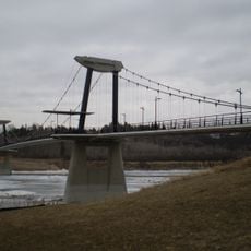
Fort Edmonton Footbridge
56.1 km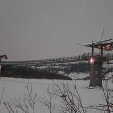
Terwillegar Park Footbridge
55.8 km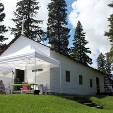
Father Lacombe Church
53.9 km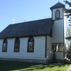
St. Aidan and St. Hilda Anglican Church
9.6 km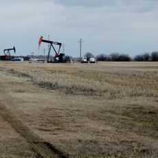
Leduc-Woodbend Oilfield
55.1 km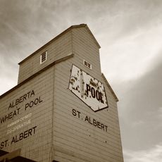
St. Albert Alberta Grain Company Grain Elevator
53.1 km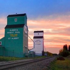
St. Albert Alberta Wheat Pool Grain Elevator
53.2 km
Bishop's Palace
54 km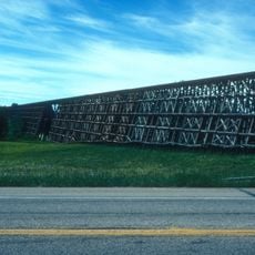
Rochfort Trestle Bridge
55.3 km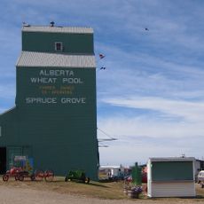
Alberta Wheat Pool (1958) Grain Elevator, Spruce Grove
35 km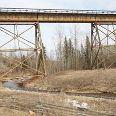
Magnolia Bridge
28.5 kmReviews
Visited this place? Tap the stars to rate it and share your experience / photos with the community! Try now! You can cancel it anytime.
Discover hidden gems everywhere you go!
From secret cafés to breathtaking viewpoints, skip the crowded tourist spots and find places that match your style. Our app makes it easy with voice search, smart filtering, route optimization, and insider tips from travelers worldwide. Download now for the complete mobile experience.

A unique approach to discovering new places❞
— Le Figaro
All the places worth exploring❞
— France Info
A tailor-made excursion in just a few clicks❞
— 20 Minutes