Bad Rapids, rapids in Alberta, Canada
Location: Alberta
Elevation above the sea: 493 m
GPS coordinates: 57.10020,-114.61901
Latest update: March 18, 2025 11:09
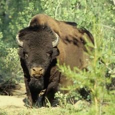
Wood Buffalo National Park
271.6 km
McMurray Formation
198.6 km
Clearwater Formation
220.4 km
Dunvegan Provincial Park
277 km
Gregoire Lake Provincial Park
220.4 km
Sir Winston Churchill Provincial Park
301.5 km
Fort Fork
205.1 km
Bluesky Formation
245.1 km
Chinchaga Wildland Provincial Park
298 km
Dunvegan Formation
279.2 km
Peace River Formation
194 km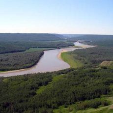
Peace River Wildland Provincial Park
229.5 km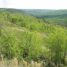
Greene Valley Provincial Park
192.1 km
Peace River meteorite
229.7 km
Kaskapau Formation
279.5 km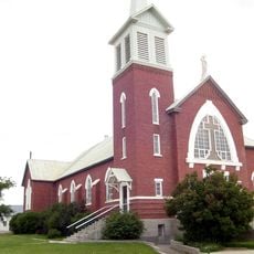
Cathedral of St. John the Baptist
209.2 km
Figure Eight Lake Provincial Recreation Area
219.5 km
La Biche River
268.7 km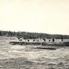
Vermilion Chutes
142.2 km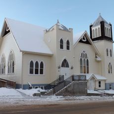
Athabasca United Church
277.8 km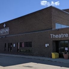
Keyano Theatre & Arts Centre
203.3 km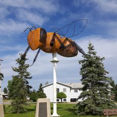
Worlds Largest Bee
220 km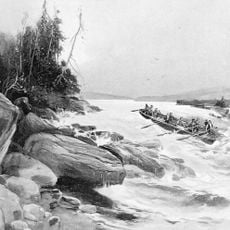
Grand Rapids
150.2 km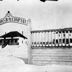
Fort Chipewyan III
272.6 km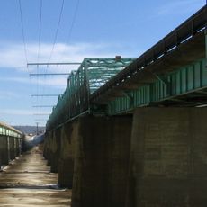
Grant MacEwan Bridge
199.9 km
Enilda Mud Bowl
214.5 km
Factor’s House
277.6 km
Fort Vermilion
166 kmReviews
Visited this place? Tap the stars to rate it and share your experience / photos with the community! Try now! You can cancel it anytime.
Discover hidden gems everywhere you go!
From secret cafés to breathtaking viewpoints, skip the crowded tourist spots and find places that match your style. Our app makes it easy with voice search, smart filtering, route optimization, and insider tips from travelers worldwide. Download now for the complete mobile experience.

A unique approach to discovering new places❞
— Le Figaro
All the places worth exploring❞
— France Info
A tailor-made excursion in just a few clicks❞
— 20 Minutes