Enable Location

We need your location to show you interesting places around you

Discover nearby places

Find interesting locations and hidden gems around you

Precise directions

Get accurate directions and distances to places

Your location is never shared with other users. It's only used when you tap the location button.

Potter County

Log in to your account

Start exploring — it's free

Trusted by 62,061 travelers worldwide

Continue with Google
Continue with Apple
or

We will send you a code to connect

By continuing, you accept our Terms and Conditions and our Privacy Policy

Check your inbox

We've sent a pincode in your inbox. Please enter the code below.

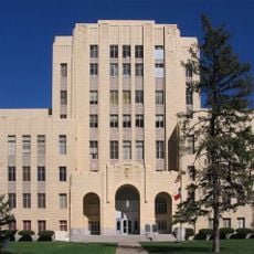
Potter County, County of Texas in Texas Panhandle, US

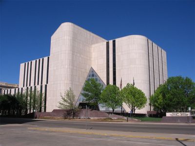
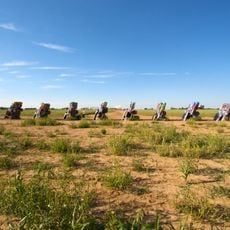
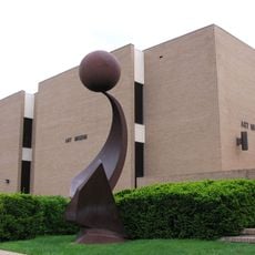
Potter County is an administrative division in the Texas Panhandle, with Amarillo serving as its main city and center of activity. The landscape consists of flat, open prairie typical of northern Texas, stretching across a broad expanse of land.

The territory was established in 1876 by the Texas legislature and named after Robert Potter, a signer of the Texas Declaration of Independence. This naming honored a key figure from the state's founding era.

The county operates multiple educational institutions through the Amarillo Independent School District and Bushland Independent School District, serving local communities.

Major highways connect this territory: Interstates I-27 and I-40 plus US Routes 60, 66, 87 and 287 run through the region. Visitors should be aware that distances between destinations are wide and a car is necessary for travel.

The territory houses two prison facilities operated by the Texas Department of Criminal Justice: the Clements Unit and Neal Unit. These facilities play a significant role in the region's economic structure.

The community of curious travelers

AroundUs brings together thousands of curated places, local tips, and hidden gems, enriched daily by 60,000 contributors worldwide.

Start exploring
Location
Inception
1887
Capital city
Amarillo
Shares border with
Moore County, Carson County, Randall County, Oldham County, Deaf Smith County, Armstrong County
GPS coordinates
35.40000,-101.89000
Latest update
December 20, 2025 12:43
Around this place
Cadillac Ranch
United States of America

Cadillac Ranch

25.3 km
United States of America

American Quarter Horse Hall of Fame

24.1 km
Don Harrington Discovery Center
United States of America

Don Harrington Discovery Center

22.4 km
Amarillo Civic Center
United States of America

Amarillo Civic Center

21.9 km
Atchison, Topeka and Santa Fe Railway 5000
United States of America

Atchison, Topeka and Santa Fe Railway 5000

21.7 km
Wonderland Park
United States of America

Wonderland Park

18.5 km
Chase Tower
United States of America

Chase Tower

21.9 km
Santa Fe Building
United States of America

Santa Fe Building

22.3 km
Mayan Mindbender
United States of America

Mayan Mindbender

18.1 km
Amarillo National Bank Sox Stadium
United States of America

Amarillo National Bank Sox Stadium

23.1 km
Texas Air & Space Museum
United States of America

Texas Air & Space Museum

26.8 km
Texas Tornado
United States of America

Texas Tornado

18.2 km
Amarillo Museum of Art
United States of America

Amarillo Museum of Art

23.8 km
United States of America

Splash Amarillo Waterpark

25.4 km
Amarillo Zoo
United States of America

Amarillo Zoo

18.5 km
Potter County Courthouse
United States of America

Potter County Courthouse

21.9 km
Sacred Heart Cathedral
United States of America

Sacred Heart Cathedral

22.3 km
J. Marvin Jones Federal Building and United States Courthouse
United States of America

J. Marvin Jones Federal Building and United States Courthouse

21.9 km
United States of America

Oliver–Eakle–Barfield Building

22 km
Courtyard by Marriott, Downtown Amarillo
United States of America

Courtyard by Marriott, Downtown Amarillo

22.1 km
United States of America

6 Section Lake

9.8 km
United States of America

First Baptist Church

22.6 km
United States of America

Memorial Park

24.2 km
United States of America

Tri-State Fairgrounds Arena

23.7 km
United States of America

Sam Houston Park

21.6 km
Amarillo Natatorium
United States of America

Amarillo Natatorium

21.1 km
United States of America

McMillen Apartments

22.9 km
United States of America

Amarillo College Administration Building and Gymnasium

23.9 km
Show the full map
Administrative divisions
« Potter County - County of Texas in Texas Panhandle, US » is provided by Around Us (aroundus.com). Images and texts are derived from Wikimedia project under a Creative Commons license. You are allowed to copy, distribute, and modify copies of this page, under the conditions set by the license, as long as this note is clearly visible.

Discover hidden gems everywhere you go!

From secret cafés to breathtaking viewpoints, skip the crowded tourist spots and find places that match your style. Our app makes it easy with voice search, smart filtering, route optimization, and insider tips from travelers worldwide. Download now for the complete mobile experience.

Around Us App Screenshot

A unique approach to discovering new places

Le Figaro

All the places worth exploring

France Info

A tailor-made excursion in just a few clicks

20 Minutes

Around Us
Travel Guide & Maps
Download

Send to your phone

QR Code
1

Open the camera app on your mobile.

2

Point at the QR code with your camera. A notification will appear.

3

Tap the notification to open the link.