
Arapaho, town in Oklahoma, United States
Location: Custer County
Elevation above the sea: 504 m
GPS coordinates: 35.57786,-98.95936
Latest update: March 8, 2025 12:23
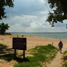
Foss Reservoir
20.8 km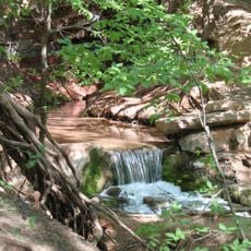
Roman Nose State Park
62.6 km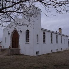
Fort Reno
83.7 km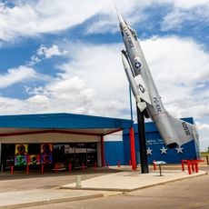
Stafford Air & Space Museum
26.5 km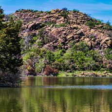
Great Plains State Park
89.2 km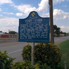
Fort Cobb
71.8 km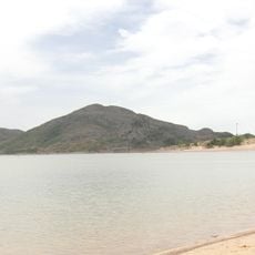
Quartz Mountain Nature Park
76.3 km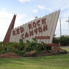
Red Rock Canyon State Park
56.9 km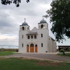
Darlington Agency
86.1 km
Rock Mary
50.1 km
Southern Plains Indian Museum
86.7 km
Washita National Wildlife Refuge
26.6 km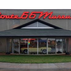
Oklahoma Route 66 Museum
8.3 km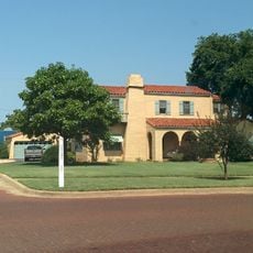
Storm House
45.1 km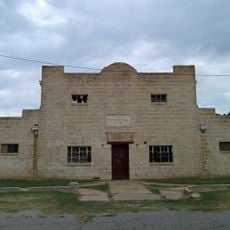
El Reno Municipal Swimming Pool Bath House
90.3 km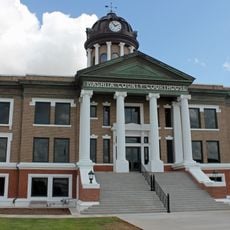
Washita County Courthouse
32.1 km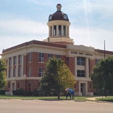
Beckham County Courthouse
69.2 km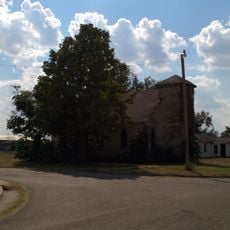
First Baptist Church
86 km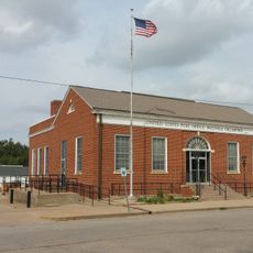
United States Post Office Watonga
57.6 km
Sayre Downtown Historic District
69.4 km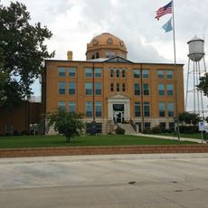
Blaine County Courthouse
57.9 km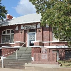
Cordell Carnegie Public Library
31.9 km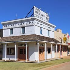
National Rt 66 and Transportation Museum
47.1 km
J. W. Danner House
69.3 km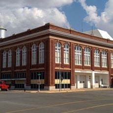
Hobart City Hall
62.6 km
Historic Fort Reno Visitors Center
83.9 km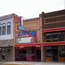
Liberty Theatre
61.6 km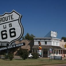
National Route 66 Museum
47.1 kmReviews
Visited this place? Tap the stars to rate it and share your experience / photos with the community! Try now! You can cancel it anytime.
Discover hidden gems everywhere you go!
From secret cafés to breathtaking viewpoints, skip the crowded tourist spots and find places that match your style. Our app makes it easy with voice search, smart filtering, route optimization, and insider tips from travelers worldwide. Download now for the complete mobile experience.

A unique approach to discovering new places❞
— Le Figaro
All the places worth exploring❞
— France Info
A tailor-made excursion in just a few clicks❞
— 20 Minutes