
Haviland, human settlement in Kiowa County, Kansas, United States of America
Location: Kiowa County
Elevation above the sea: 657 m
Website: http://havilandkansas.com
Website: http://havilandkansas.com
GPS coordinates: 37.61670,-99.10560
Latest update: May 8, 2025 12:47
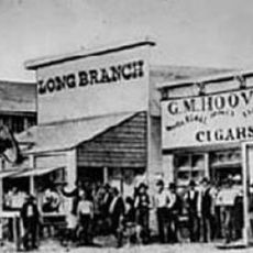
Long Branch Saloon
82.1 km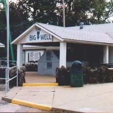
Big Well
16.6 km
Brenham
6.4 km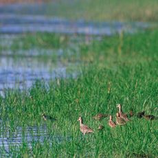
Quivira National Wildlife Refuge
82 km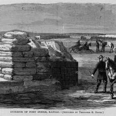
Fort Dodge
74.1 km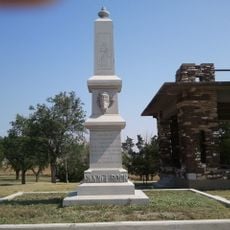
Pawnee Rock
73.8 km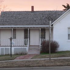
Carrie Nation House
59.9 km
Medicine Lodge Peace Treaty Site
60 km
Fromme-Birney Round Barn
36.9 km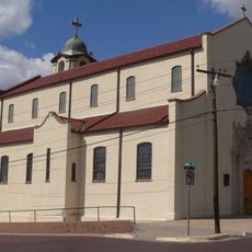
Sacred Heart Cathedral
81.8 km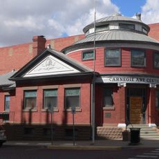
Dodge City Public Library
81.9 km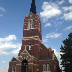
Immaculate Heart of Mary Catholic Church
50.8 km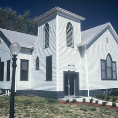
Stafford Reformed Presbyterian Church
58.5 km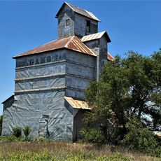
Gano Grain Elevator and Scale House
46.7 km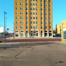
Hotel Roberts
32.4 km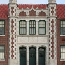
Protection High School
57.2 km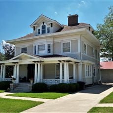
S.P. Gebhart House
32.3 km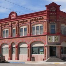
Stockgrowers State Bank
75.6 km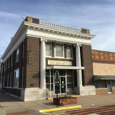
Farmers National Bank
58.8 km
Stein House
75 km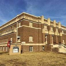
Stafford First United Methodist Church
58.7 km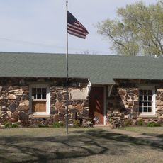
Girl Scout Little House
75.6 km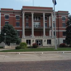
Pratt County Courthouse
32.6 km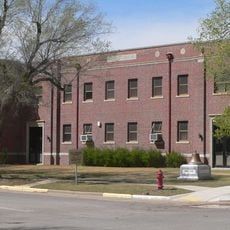
Ashland Grade School
75.4 km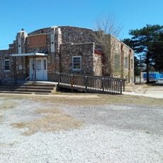
Earl H. Ellis VFW Post No. 1362
33.1 km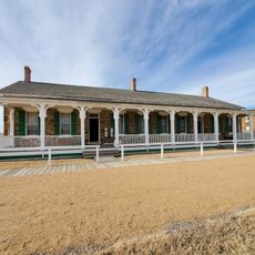
Fort Larned National Historic Site
63.8 km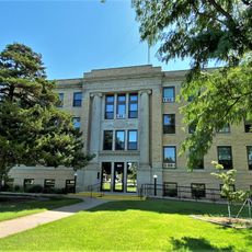
Comanche County Courthouse
43.4 km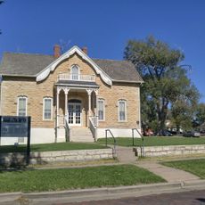
Home of Stone
81.6 kmReviews
Visited this place? Tap the stars to rate it and share your experience / photos with the community! Try now! You can cancel it anytime.
Discover hidden gems everywhere you go!
From secret cafés to breathtaking viewpoints, skip the crowded tourist spots and find places that match your style. Our app makes it easy with voice search, smart filtering, route optimization, and insider tips from travelers worldwide. Download now for the complete mobile experience.

A unique approach to discovering new places❞
— Le Figaro
All the places worth exploring❞
— France Info
A tailor-made excursion in just a few clicks❞
— 20 Minutes