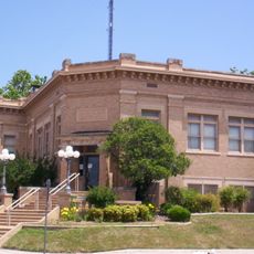
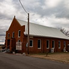
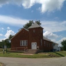
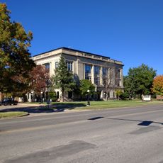
Stephens County, County in south-central Oklahoma, United States
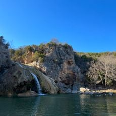
Stephens County is an administrative division in south-central Oklahoma containing rolling plains and multiple waterways. Creeks and streams flow through the landscape, feeding into two major rivers that shape the region's character.
The county was established in 1907 when the region was organized following the dissolution of Indian Territory. Its formation reflected the broader shifts happening across Oklahoma as new administrative boundaries took shape.
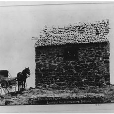
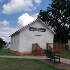
The area holds archaeological remains that speak to generations of people who lived here before. Walking through these spaces, visitors sense the deep roots that indigenous communities had in this land.
Visitors can access public records and documentation by contacting county offices that maintain these materials for research. Spring and fall offer the most pleasant conditions for exploring the landscape and accessing various locations.
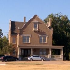
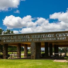
An important trade route once passed through this area, spurring the growth of trading posts that became economic hubs. The names and layouts of settlements still reflect this commercial heritage from that earlier period.
The community of curious travelers
AroundUs brings together thousands of curated places, local tips, and hidden gems, enriched daily by 60,000 contributors worldwide.